| Sometimes we get a really nice view from the RV windows and this
site at Fort Klamath, just south of Crater Lake, gave us a rare peaceful
setting. | 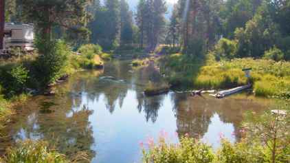 |
 | And so onward
down the road to Klamath Falls, a small city, and then to the south-west. We
had to do a bit of a dogleg to go round Mount Shasta (14,162 feet high). The
map program gave us a short cut but it turned out to be a 30 mile unpaved
'Military Road' so we went the long way road via a town with the magical
name of 'Weed' |
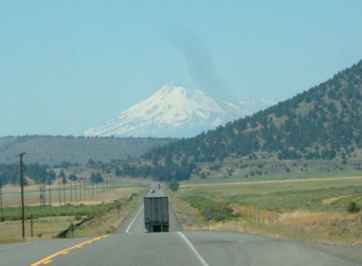
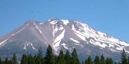
| You can see the mountain (weather permitting) from over 100 miles
away but the definition gets better as you get closer. Here we are still on
the glacial Klamath plain which would be marsh apart from the drainage
channels as in the English fens. We are still some 40 miles away here. | 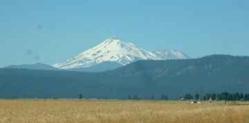 |
 | We really spent
much of the day driving round this mountain. The view changed slightly as
the day progressed but with both us and the sun heading west the change was
minimal. We are still to the north east of the mountain at this point. |
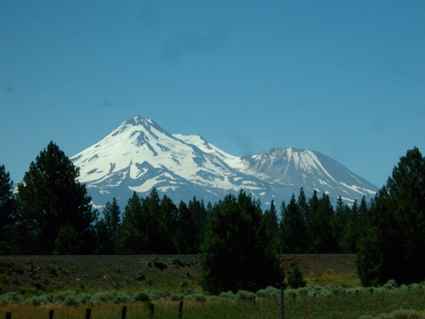
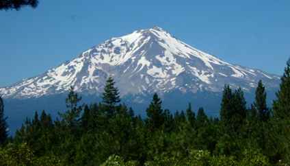
| We quite like this shot because as the heat haze intensified the
white snow caps took on a disconnected ethereal feel. The volcanic cone
shapes are quite clear. The multiple peaks were caused by different
eruptions from the same main vent. | 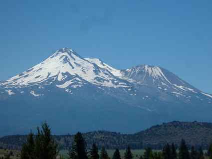 |
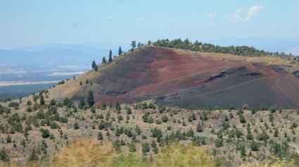 | We just liked the
colour of this minor mountain. There had obviously been some mining in this
area at one time. The poor quality of the soil and the sparse tree growth
are all indicators of a harsh environment. |
| About the only thing which seemed to hold its own was the
sagebrush in the foreground here, with ash cones in the middle background
and more of the Cascades ridge behind. | 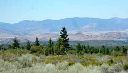 |
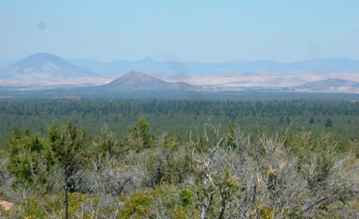 | This shot was
taken in the same general area but shows the long extinct cones more vividly.
Distance shots in this heat are almost impossible because of the haze. We
haven't had really clear air for weeks. |
| For all that this is semi desert there are still patches of water
as shown here at Lake Shastina, not far from Weed where we briefly joined
the I5 before breaking away south east towards Lassen Volcanic Park. | 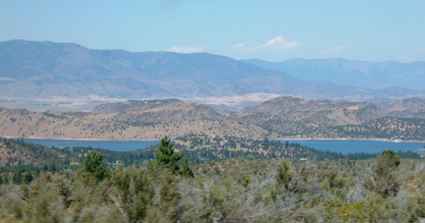 |
 | But we should not
forget our mountain now seen from the west and in the mid afternoon so the
sun is full on it. |
| There are viewpoints along the road where you can see the
mountain, but most of the time it was hidden by trees as we drove down the
very straight I89. | 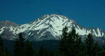 |
 | The mountain is
now receding as we head away but is still impressive as the afternoon sun
catches the ridges.. |
| So to another campsite with a soothing view. This one looked
strangely like home with a herd of Herefords in the next field. This was at
Hat Creek, just north of the next national park (and more volcanoes!) | 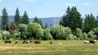 |
|