| We left Seattle and travelled south about 100 miles. Here our
route departed from I5 towards the Mount St Helens Memorial Park. There are
several visitor centres. One is just off the I5 but is still almost 50
miles from the volcano itself. The visitor centres are also interpretative
centres and were very interesting. This was a diorama of the area and shows
where the side of the mountain blew out. | 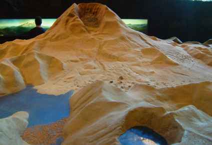 |
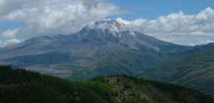 | When the mountain finally comes
into view it is very impressive even when the top is obscured by cloud
This is the view from the west side The crater faces north. The mountain is
still some 8000ft high. The road at this point is still only about 3000ft. |
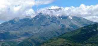
| The mountain grows as you get closer but at this point we are
still some 30 miles away - but getting closer. |
 |
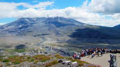 | Finally we reached the
Johnson Ridge Observatory, named after a geologist who was killed in the
1980 eruption. There had been a small earthquake the day before and another
as we were driving up. This is because there is a new dome growing and minor rockfalls keep occurring. . |
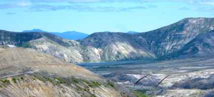
| Off to the west side is a small lake called Crater Lake.
This was largely protected during the eruption as the main force went north
and the mudslide passed by in front of it. | 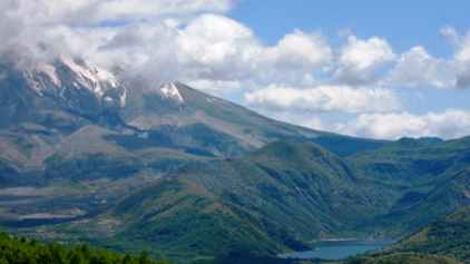 |
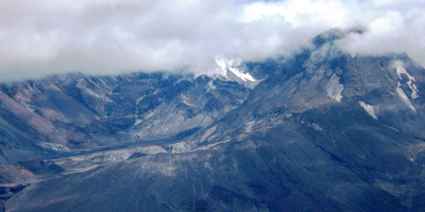 | This is the original crater. In the
centre you can just see a new dome building with steam venting from it.
There had been a small ash cloud the day before but nothing while we were
there. We could see the steam although it was difficult to distinguish it
from the clouds. The observatory is several miles from the crater. |
| Off to the north-east lies the remains of Spirit Lake. There was a
lodge here and the owner refused to move out on the grounds that the
expected avalanche could not possibly reach as far as the lake (10 miles
away) The lodge was buried to a depth of 300 feet in ash. |
 |
 | The explosion when the side of
the mountain blew out just sheared off the trees up to 20 miles away. It is
hard to conceive devastation on this scale but when you actually see the
crater (as distinct from a picture) then it has rather more meaning. The
total force of the eruption has been estimated as equivalent to 27,000 H
bombs in a 24 hour period. Only 11 people died. |
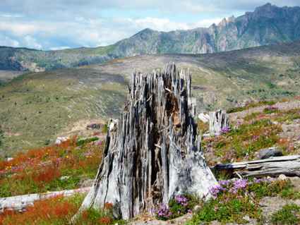
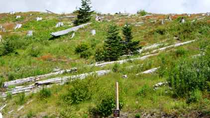
| But millions of trees were just laid flat. Today manyhave been
removed and the areas replanted. But in some areas the stumps remain as a
reminder of the power of nature. |
 |
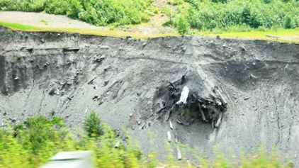 | It is difficult
to visualise the quantity of ash which fell in this area but this tree root
is buried pretty deep. The ground between the observatory and the crater
looks more like a moonscape. |
| The eruption started with a slide (the whole north face fell
off). This and the associated water and debris mostly flowed down this river
valley. The streams in the bottom are tiny but one can see the devastation
of the flood waters. The flood wave caused the I5 to be closed when it
reached the interstate some 80 miles away and threatened the bridge, but the bridge held. Most bridges
above that point didn't. There are pictures of houses being washed away. | 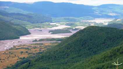 |
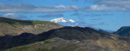 | All
this was observed by a party of climbers on Mt Adams some 30 miles to the
east which we could just make out in the sunshine. |
|