| We turned west (which is
pretty empty) and went to Olema just by the coast. This is a really quiet
off-the-beaten-track spot but it had been taken over by an Airstream rally.
There were over 20 on the site. | 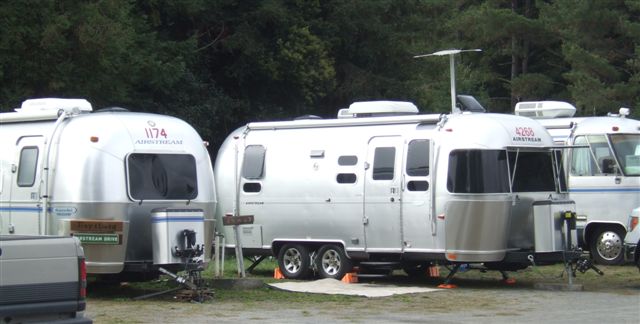 |
 |
Olema is just south of Point Reyes National Seashore. It is in effect an
island of rock partially attached to the mainland, but the join is actually
the San Andreas fault. When there is an earthquake, the 'island' moves a bit
further up the coast. Olema was the epicentre of the 1906 earthquake. |
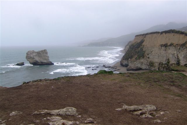
| We walked the 5 mile path
across it to look at the ocean. Just before we got there it started
raining.And it bucketed it down for the next six hours. We got absolutely
drowned. But this was our first sight of the Pacific Ocean this trip. | 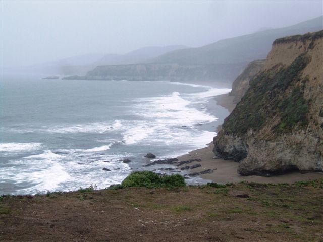 |
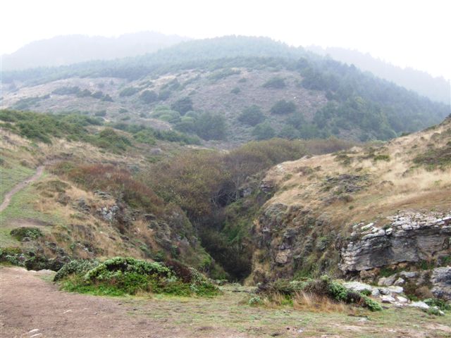 |
The route back inland was not particularly difficult. It was a well worn
track. The trees provided some shelter but then occasionally tipped a bucket
down your neck. |
| This coast is fairly
forbidding. There is not much on the coast in the northern half of
California and the coast road, such as it is, is a 20mph road with many
twists and turns. | 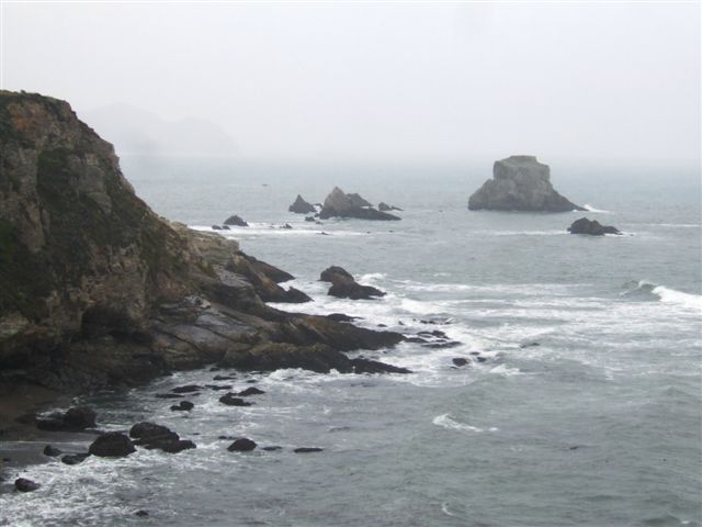 |
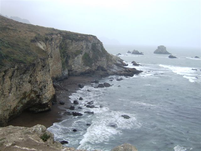 |
Its not much better by boat. You need to keep well offshore to avoid the
rocks and there are no natural harbours. |
| After drying out we
decided to head south to San Francisco. Only 50 miles but over three
hours away. The road was not good and at times downright hazardous. | 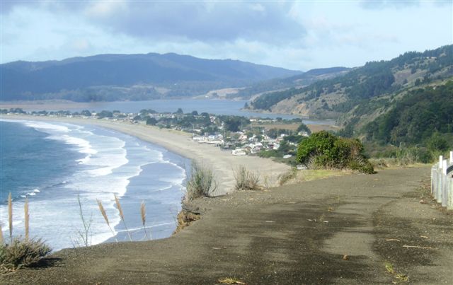 |
 |
There are more beaches as you get closer but often no easy way to get down
to them. And the water is bitterly cold having flowed down from Alaska. |
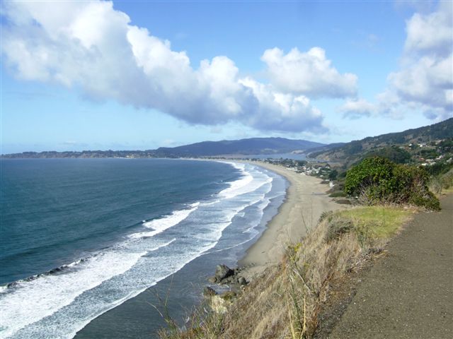
| There is a lot of up and
down as well as many hairpin bends, but fortunately not a lot of traffic. | 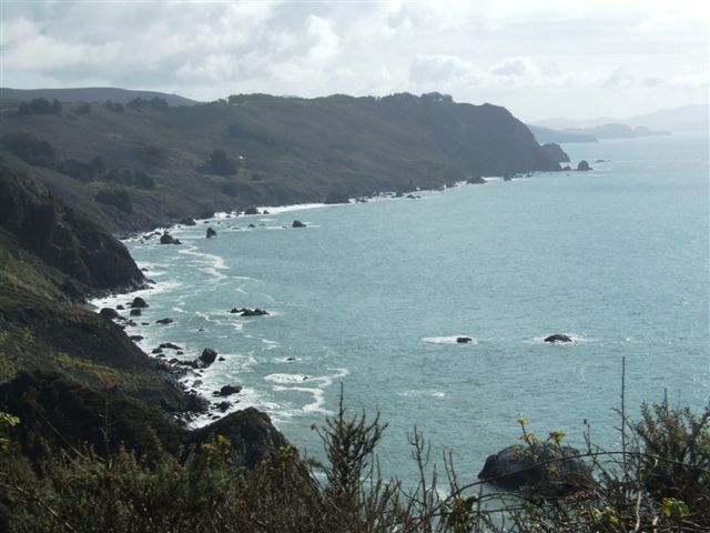 |
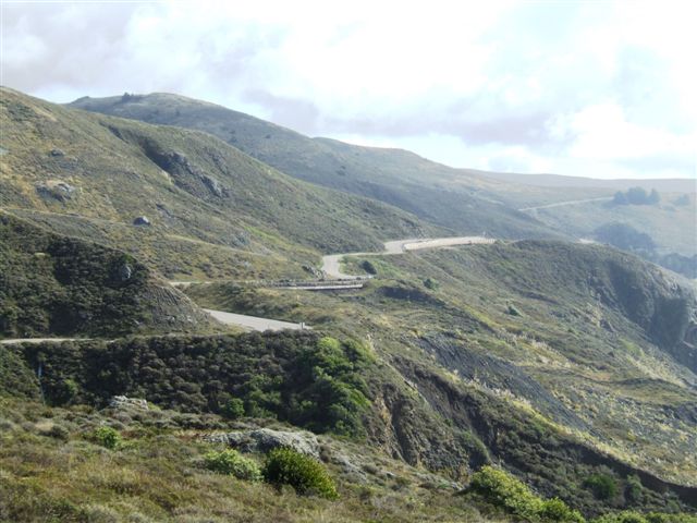 |
This picture sums up the route quite well. At least this bit is relatively
flat. Eventually we joined Highway 101 just north of the Golden Gate
Bridge and turned north for our campsite at Larkspur. |
|