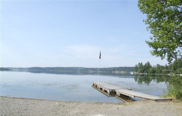
| The view from the
campsite was idyllic. The site was full of dog lovers having a four day
training event, but they were well behaved. |
 |
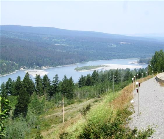 |
So we moved on, following the Fraser River. Nine sternwheelers did travel
some 400 miles of this river but narrow canyons and rapids downstream from
here make sections of this river impassable. |
| Bizarre I know. This
wheelchair would have suited a 30ft person. This is at Williams Lake. | 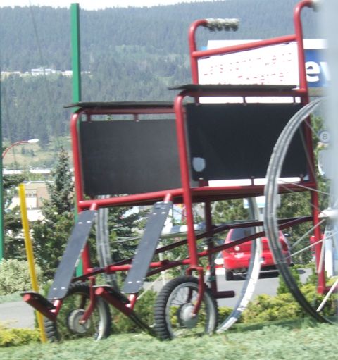 |
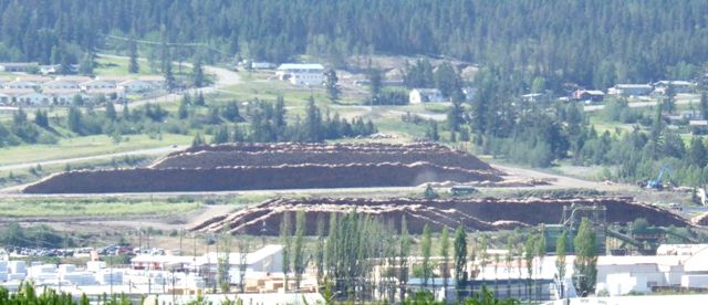 |
It is another logging centre although the trees are getting bigger round as
we move to lower, more sheltered areas. |
| Williams Lake is also
known for its rodeo statues as seen here. | 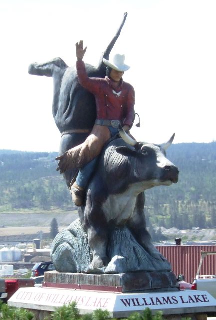 |
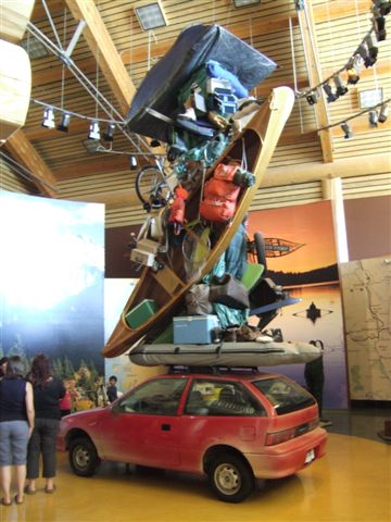 |
The visitor centre is a huge spectacular log cabin with this 'statue' of the
traveller in the centre. Weird! |
| The road becomes strange
as we head south. We pass settlements call 150 Mile House, 100 Mile House,
etc and this 108 Mile resort. There is also 144 Mile ranch. The measurements
are all distances along the old waggon road from Lillooet. | 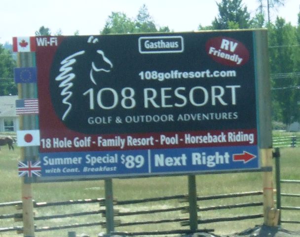 |
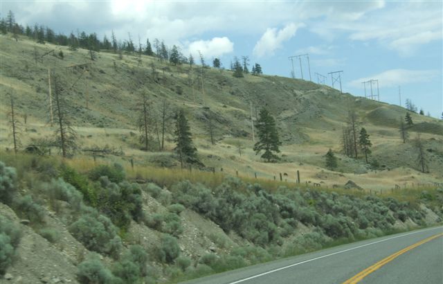 |
Just before Grande Cache at about 50 miles we turn off onto Highway 99
towards Lillooet. This is a very different road, narrow and with steep
grades. The vegetaion is also much drier being in the lee of the mountains.
It is almost desert like. |
| We definitely start
climbing as we move from the inland plain and start to cross the last
coastal mountains before we reach Howe Sound and Vancouver. | 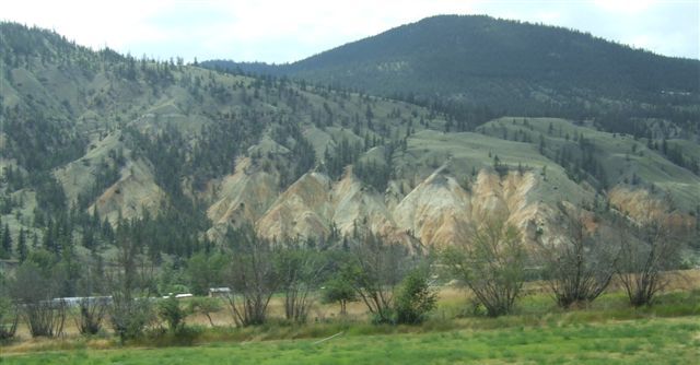 |
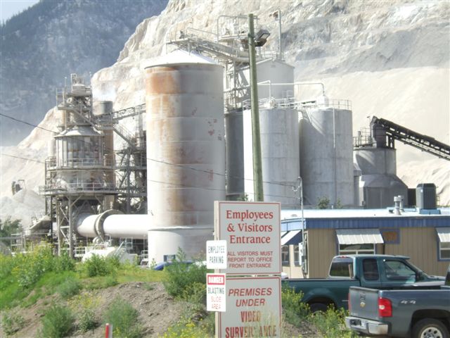 |
This is native land but it has some industry like this quarry. |
| It will keep them going
for a while as they eat away at the mountain. The parallel lines are in fact
narrow roadways. | 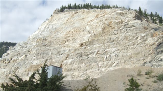 |
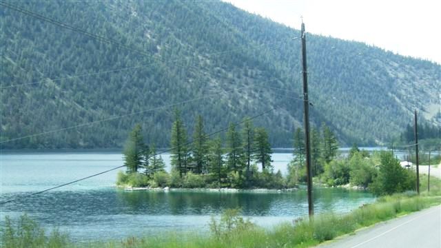 |
We still have rivers and lakes but little population along this corridor
which is almost all native lands owned by a variety of tribes with
unpronounceable names. |
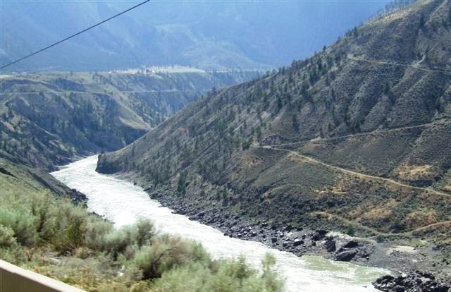
| As we climb higher the
clefts in the earth become deeper with the Fraser River at the bottom. The
road becomes poorer and our speed falls. | 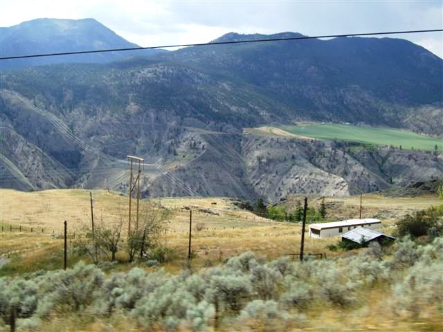 |
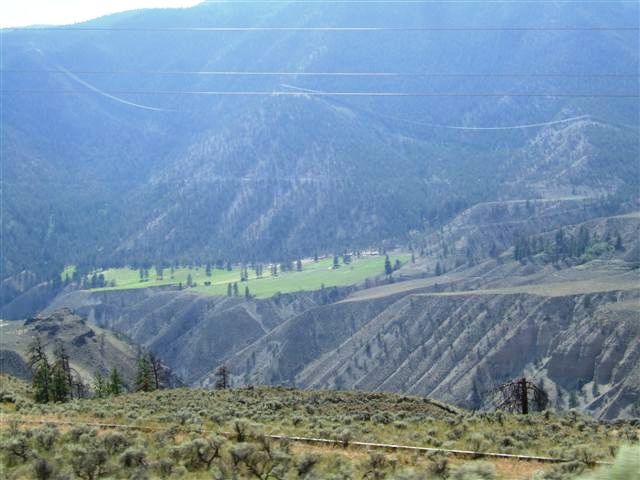 |
The views become more spectacular but the care needed to drive becomes
greater. |
| A view of what is to
come. The road clings to the hillsides and twists and turns. It must have
taken weeks when this was a wagon road for hauling lumber. | 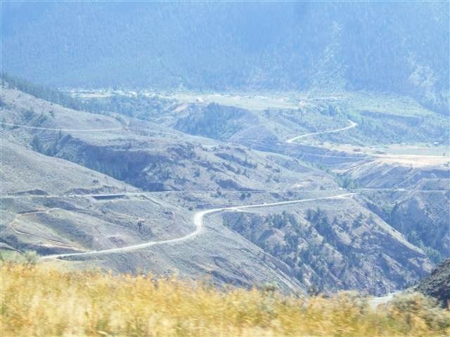 |
 |
They couldn't travel by the Fraser River. That is much too treacherous along
here. And this is with the subdued summer levels, not the spring snowmelt. |
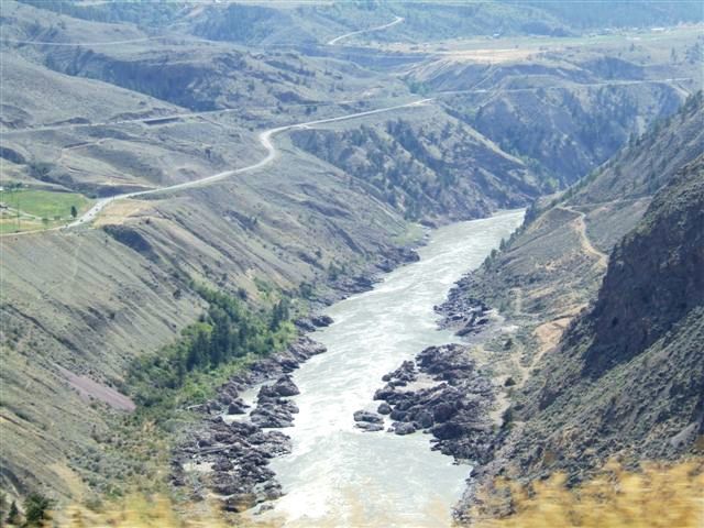
| Amazingly we are joined
by the railway which follows the same route as the road. This is the railway
from Vancouver to Prince Rupert. | 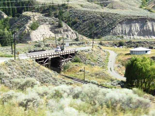 |
 |
There is a road on the other side which runs from Clinton to Lillooet. We
were advised that it was mostly gravel with very steep grades and really
best with 4 wheel drive, not suitable for a motorhome. |
| The landscape is now very
desert like with stunted trees and little soil. There is minimal rainfall
here although the rest of the province is relatively wet. | 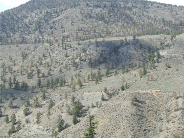 |
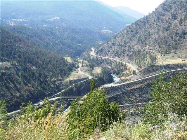 |
Top of the last climb before Lillooet which is to the right of the river. |
| The railway bridge with
Lillooet in the background. | 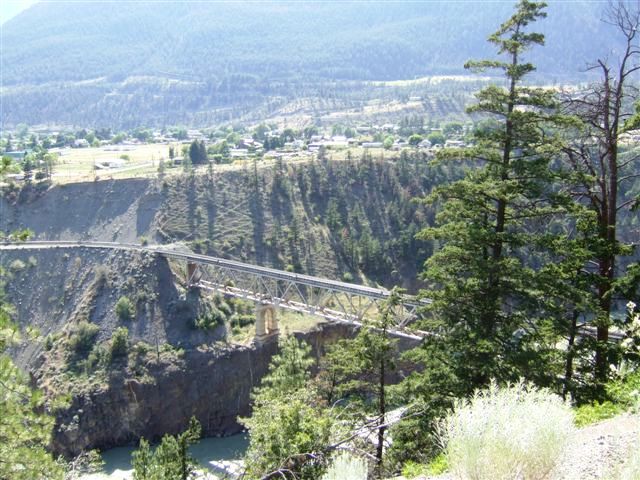 |
 |
The closed road bridge with our campsite next to it in the centre. The town
is off to the right. We still have some six miles to go to reach it. |
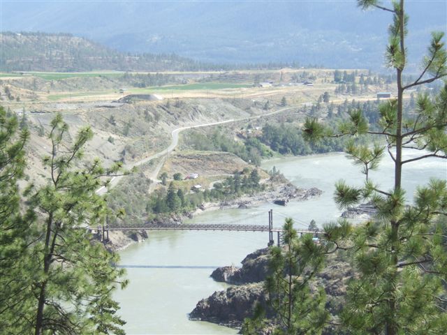
| We carried on and then
the road turns back on itself as it continues to lose height. This is the
railway bridge again. | 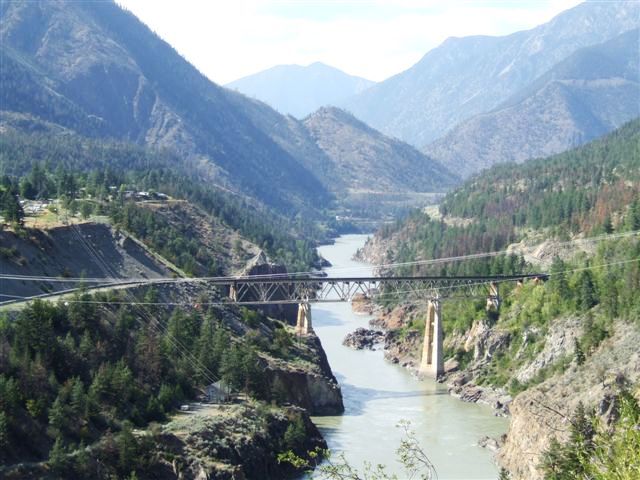 |
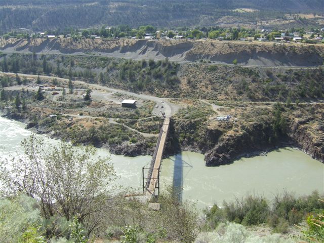 |
The closed road bridge. Our campsite is almost directly underneath us at
this point. The railway runs along halfway up the cliff on the other side. |
| Three engines on the
front and ninety wagons behind. Two Canadian National and one BCRail
although they are all one company now. | 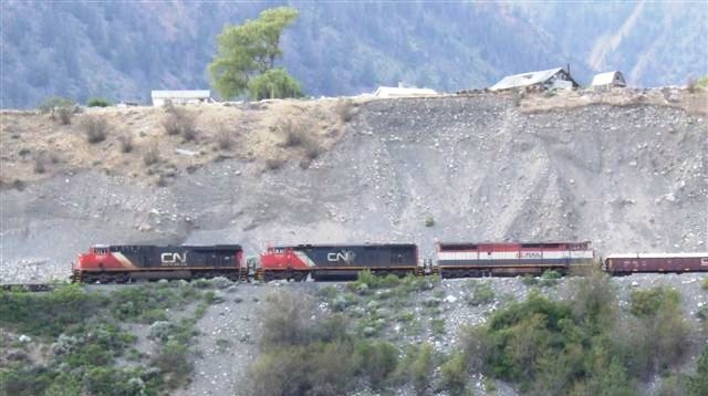 |
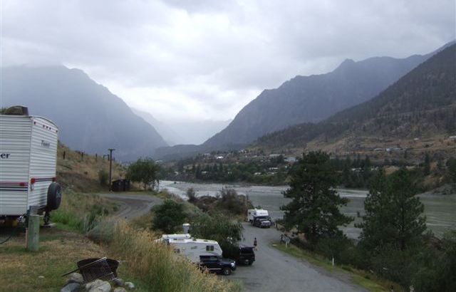 |
We finally reached the campsite which has only about twenty spaces clinging
to the cliffside. Fortunately there was one space big enough for us although
the hairpins on the entry road were tricky. Demountables are the preferred
option here. |
|