| They started to build a
railway up to Dease Lake mainly to access mineral resources. But then the
economics changed and they abandoned the idea. This is an embankment that
was graded in advance. | 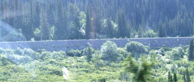 |
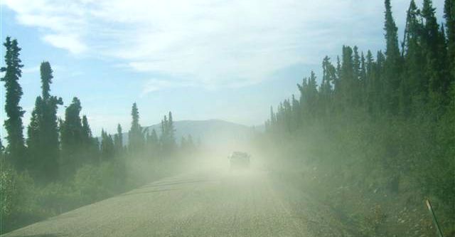 |
There were some short sections of gravel to the north and south of Dease
Lake. The surface is good but it can get very dusty. |
| There are lots of very
fast flowing rivers which have been bridged like this. We are still on
gravel and 25mph is a good speed. | 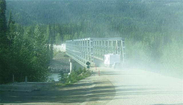 |
 |
Back to normal road although some of it is in need of a little care. We are
also well into the Coastal Mountain range. |
| Mountains and lakes and
some nice mirror shots. The fireweed is in the foreground. We have now
identified it as rose bay willow herb, which is very common in England and
up here. | 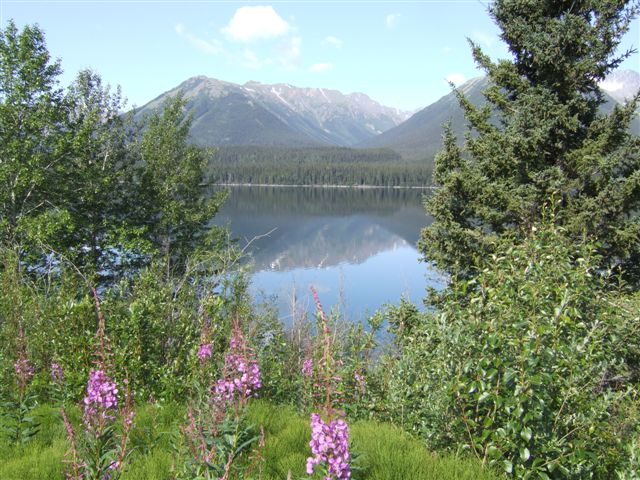 |
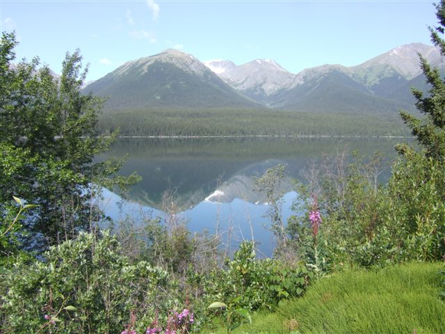 |
Another mirror shot. These work best when there are clear skies and very
little wind. |
| Just how little wind can
be seen here. But beware because it can get windy very quickly here. | 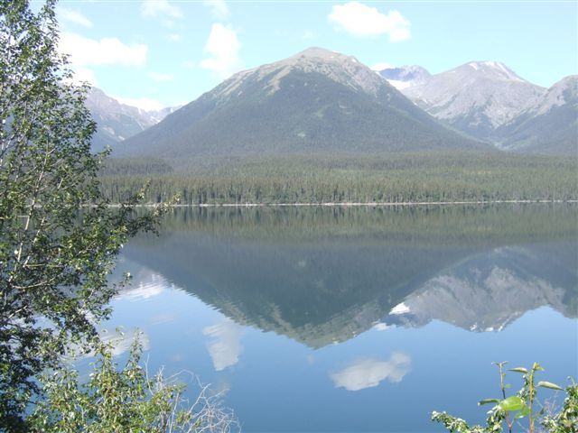 |
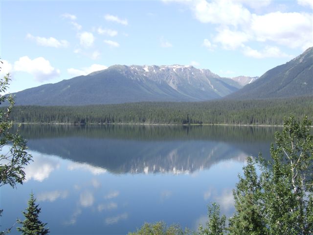 |
There are hundreds of lakes so there are views at almost every turn. |
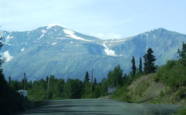
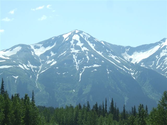
| We still have plenty of
snow even though it is mid July. These are quite high mountains. | 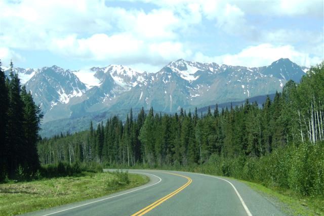 |
 |
The roads, the trees and the rivers are endless here. There is over 100km
between gas stations. There is a staggering amount of water flowing here. |
| There isn't another road
for 100 km in any direction. The only way to travel to the mines or anywhere
is by helicopter. | 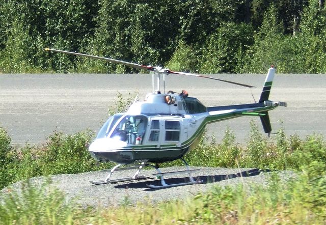 |
 |
Another lofty peak. As soon as you pass one, there is another just round the
corner. |
| These are pretty much
impassable. The Pacific Ocean is on the other side about 200km away, with no
means of access by road. | 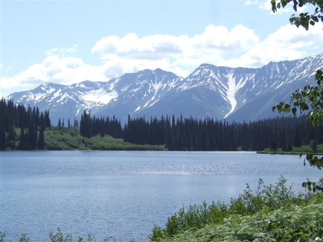 |
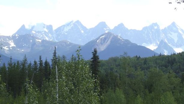 |
At the bottom end of the Cassiar Highway it meets the Yellowhead Highway
which goes east-west. But before we get there we see the Seven Sisters
chain. |
|