| There is only one road in
and out of Valdez which is why we came in by ferry. The initial part is a
canyon going up to the glaciers. This was the first part of the Dawson Trail
to the goldmines. | 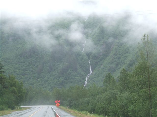 |
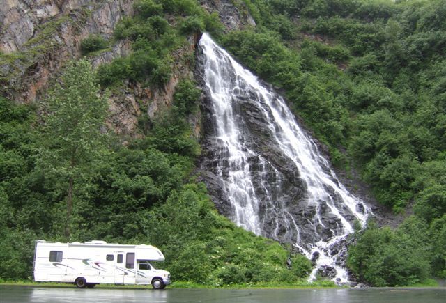 |
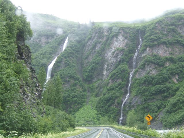
There are a lot of waterfalls cascading down the nearly vertical sides. This
is Horsetail Falls 13 miles out of Valdez along Keystone Canyon. |
| The road follows the Lowe
River. The Alaska pipeline goes along here too but it is underground. | 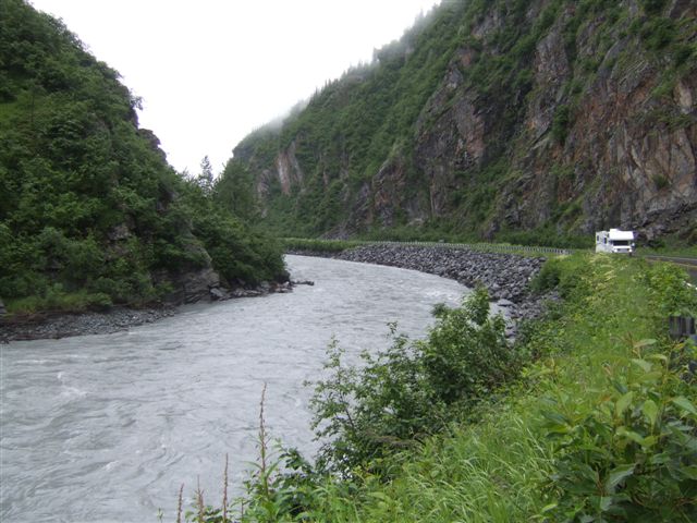 |
 |
This gives a better idea of just how precipitous the hillsides are. It is
quite a spectacular drive. |
| Climbing the 7.5 miles to
Thompson Pass. This was one of the most difficult areas for construction
both of the road and the pipeline. It is also one of the most difficult to
keep open. Note the snow poles to guide the snowploughs. | 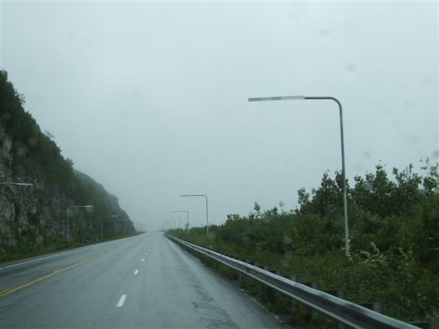 |
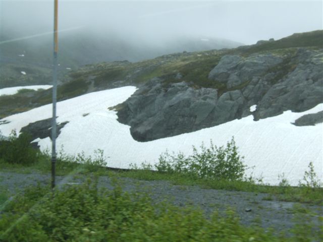 |
There is a weather station which regularly sets records like 975 inches of
snow in a season and 298 inches in a month! The pass is only at 2080ft. |
| This is the Worthington
Glacier. It faces north east and therefore is not so subject to melting. It
is thought that this would be the last glacier to disappear as a result of
global warming. | 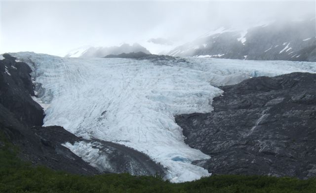 |
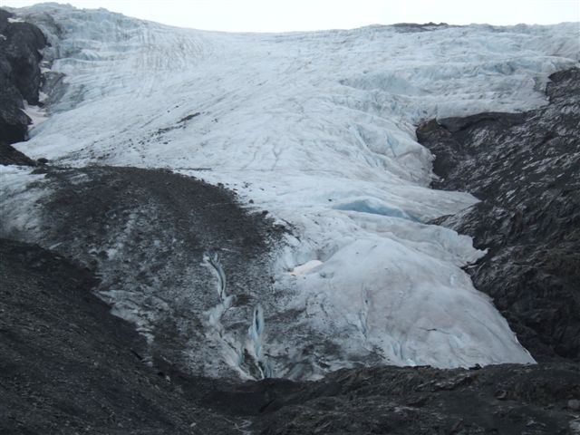 |
The glacier has been retreating albeit slowly for the last 150 years. 20,000
years ago it was 4000ft thick. |
| Starting the descent from
the glaciers along the Tsaina river. The weather is still murky with low
cloud and forecast to remain so in this area for the rest of the week. | 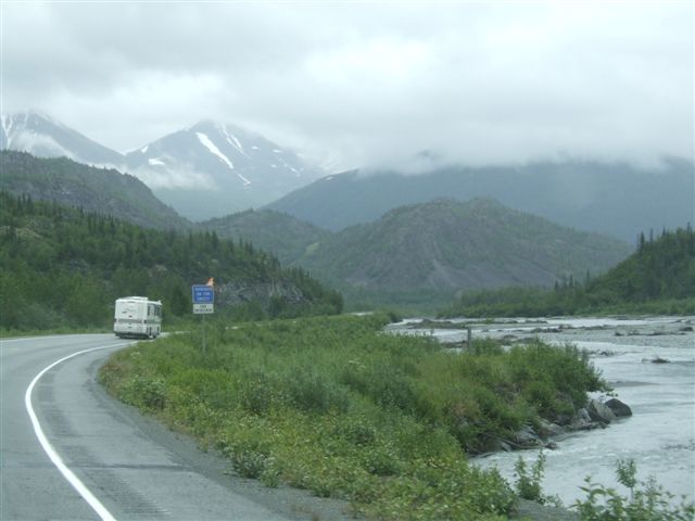 |
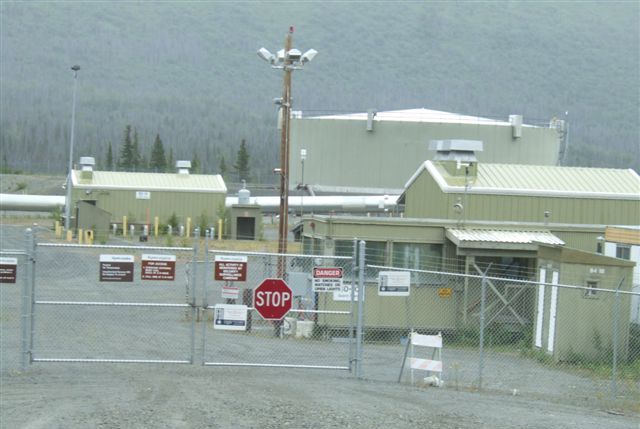 |
There are 9 pumping stations along the 800 mile pipeline from Prudhoe Bay.
But today only five are working and the oil flow is about half maximum
capacity. The oil flows at about 6mph. |
| A model of a fish trap at
the Copper River Visitor centre. This is on the edge of the Wrangell/St
Elias National park which is the second largest in the US and is
virtually inaccessible. There used to be a copper mine at Kennicott about 70
miles in but it closed in 1938. | 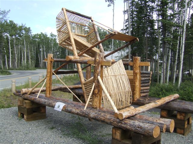 |
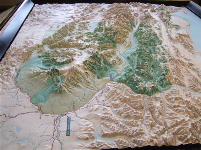 |
A relief map of the park which extends into Canada where it is called the
Kluane National Park. Nine of the sixteen highest peaks in the US are in
this park which covers 13.2 million acres. |
| These cross-sections come
from two spruce trees of the same age. The smaller was growing in a
permafrost area where the roots could not penetrate the ice and grow
downwards. | 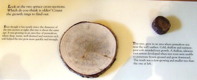 |
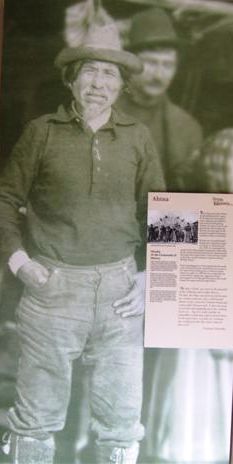 |
Nicholai was a powerful Ahtna native leader in the late 1800s. He guided
many of the early explorers and showed them the copper deposits which led to
the arrival of more people and changed the natives' way of living forever. |
| The roads in areas of
permafrost are very prone to heave. Travel on roads like these can average
less than 25mph. The road from Tok south to Kluane is particularly bad. | 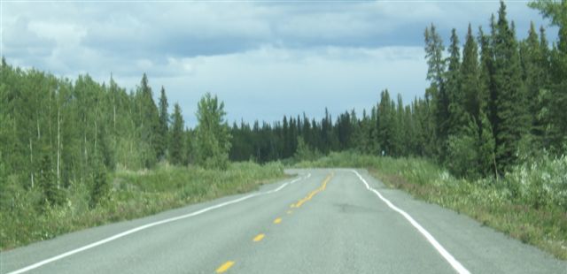 |
|