| Good roads today heading
north from Tok. This is Santa Land just outside the town. I suppose it appeals to some folk. Sorry
about the raindrops. | 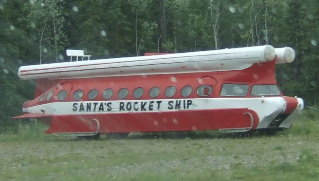 |
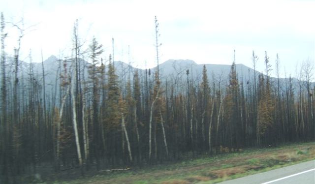 |
This is a 2010 burn. It is almost out. Just 17000 acres. They are still
walking the active fire line killing hot spots. At least it means that Tok
is probably now safe for a few years, having had burns all round in the last ten years. |
| It does look a bit barren
as we look over towards the Alaska range. It is raining and visibility is
not good. But there was smoke last week..... |  |
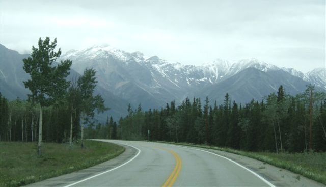 |
There is sunlight above the rain and holes in the clouds. Sometimes it just
catches the snow and the mountains shine. |
| We are further north now
and it is a little colder. There is still some ice on the rivers. | 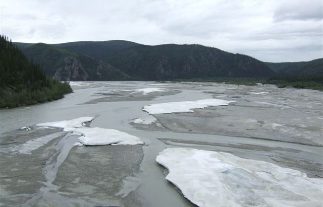 |
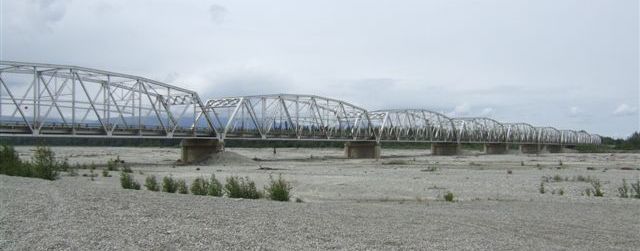 |
This is the Gerstle River, a wide river but mostly bare gravel at this time
of year. |
| There is quite a mix of
trees here with the aspens and willows and the spruces just coming up. | 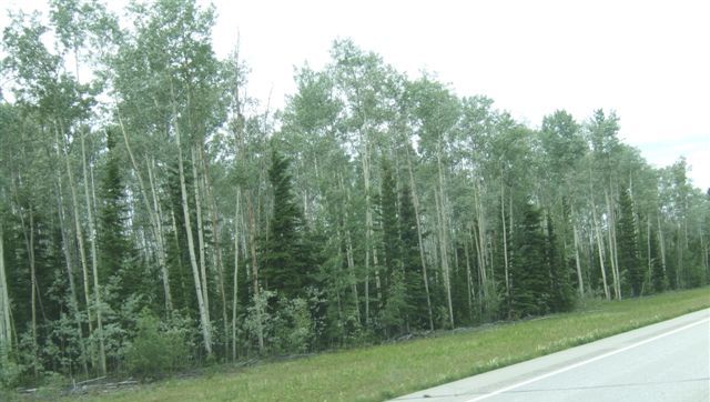 |
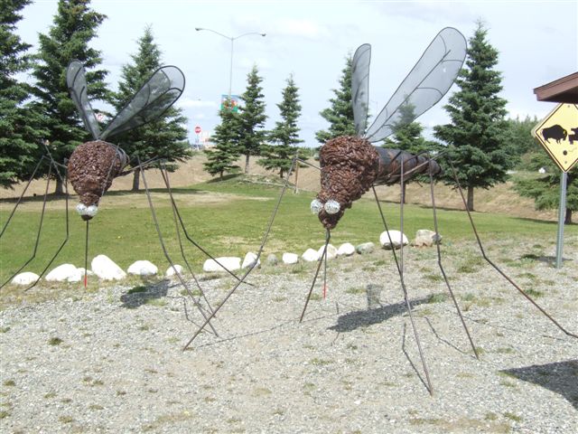 |
Delta Junction is halfway between Tok and Fairbanks. These sculptures are a
reminder of the mosquitoes here - as if you needed one! |
| Here we reach the end of
the Alaska Highway over 1400 miles from the start at Dawson Creek. From here
on we are on the Richardson Highway which runs from Valdez to Fairbanks. | 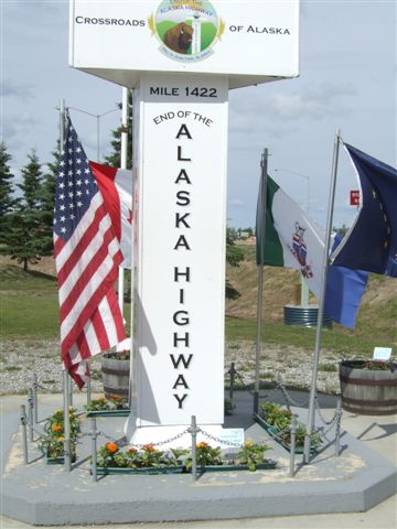 |
 |
The Alyeska pipeline runs alongside the road from Prudhoe Bay to Valdez.
48,000 gallons of oil flow each minute at 6mph the 789 miles in a 48in diameter
pipeline. |
| The visitor centre has
some wooden models. I think this should be the vehicle of the north. | 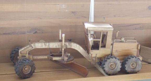 |
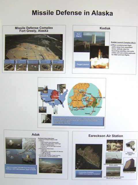 |
There is a display on the various missile defence systems which have so
many installations up here. We are in fact closer to Moscow than we are to
Washington. This is probably as close as we will get to these installations. |
| A reminder of the
construction of the roads here all of which were originally military roads.
There are about a dozen old WWII vehicles in a small park. | 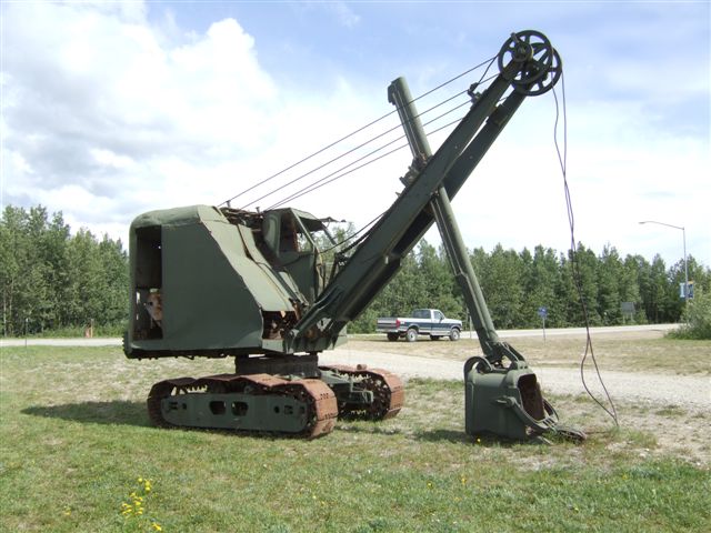 |
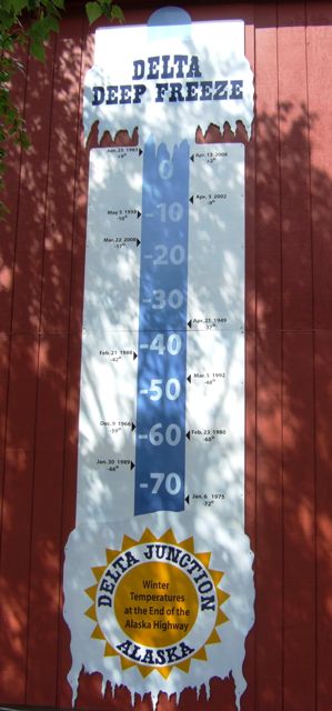 |
A reminder on the side of the visitor centre of how cold it can get here.-72şF
was recorded here in January 1975. Even the locals thought that was cold! |
| The oil pipeline runs
underground where there is no risk of its warmth affecting the permafrost,
but where there is such a risk it runs above ground. This is a special case
- the pipeline needs to cross the river. | 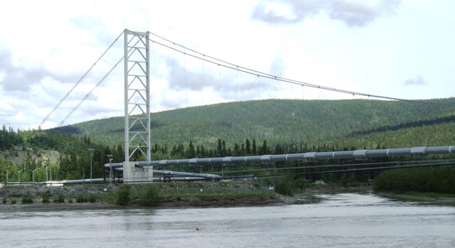 |
 |
The river is probably a mile wide here. |
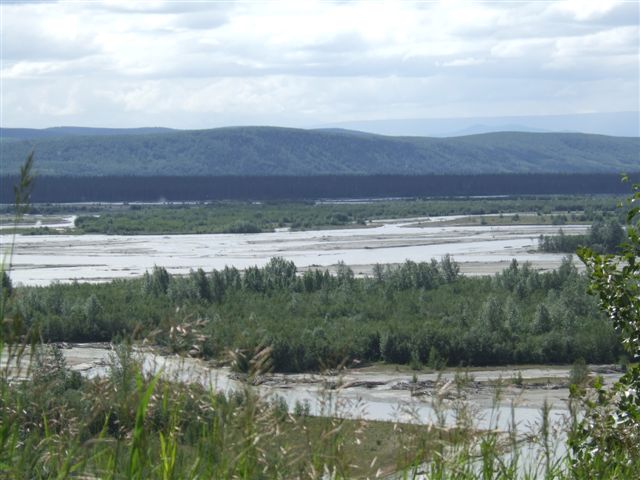
| On a clear day you can
see the Alaska Range on the horizon. We could just make the mountains out but the
photo doesn't show them. | 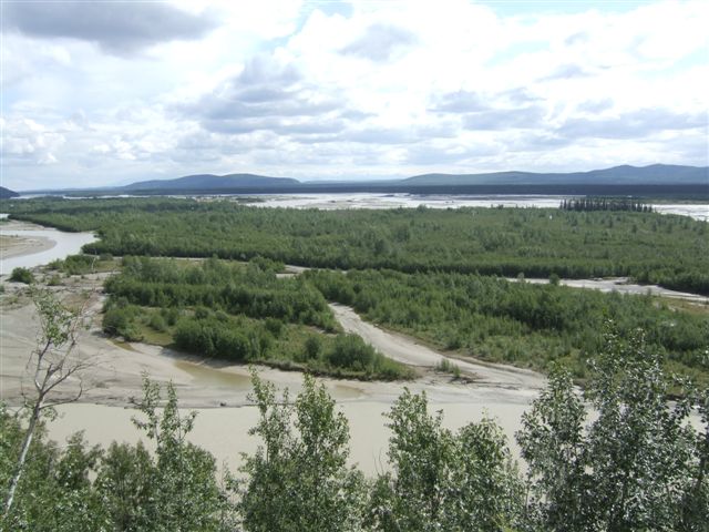 |
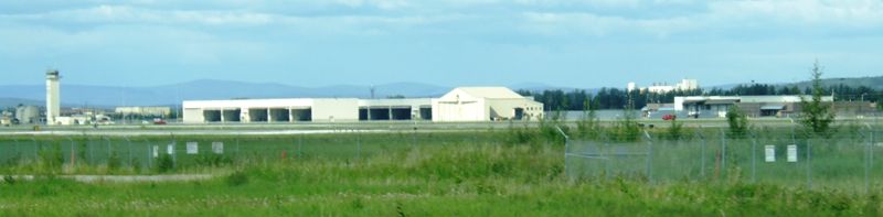 | | About 25 miles south of Fairbanks is the huge Eielson
Air Force Base. Photos prohibited from here on. But it only seems to be
National Guard these days. There were few planes to see. Next was the army's
Fort Wainwright which goes right to the outskirts of Fairbanks. |
| On the way we did pass
through the community of North Pole and Santa lives just a little nearer to
Fairbanks. They even have an RV park here. There is always a difference
between magnetic north and true north - here that is 33 degrees! | 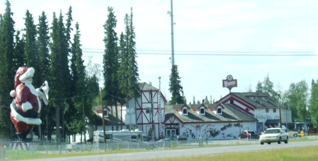 |
|