| The views on the US side
are much the same as on the Canadian side. But the road is terrible. It is a
narrow dirt road with many potholes - and it is 45 miles to Chicken. Max
speed is 25mph and concentration is needed. It took us over two hours to get
to Chicken. | 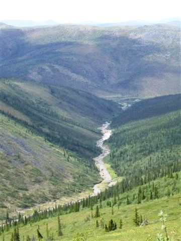 |
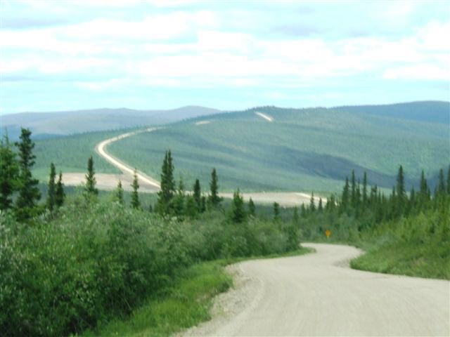 |
It is still on the ridge but on this side of the border it is known as the
Taylor highway. It actually runs up to Eagle with a spur off to the border
which is what we are on. |
| There is of course
nothing for hundreds of miles on both sides. The views are apparently best
in mid August when the fall occurs. The road is closed by mid September. | 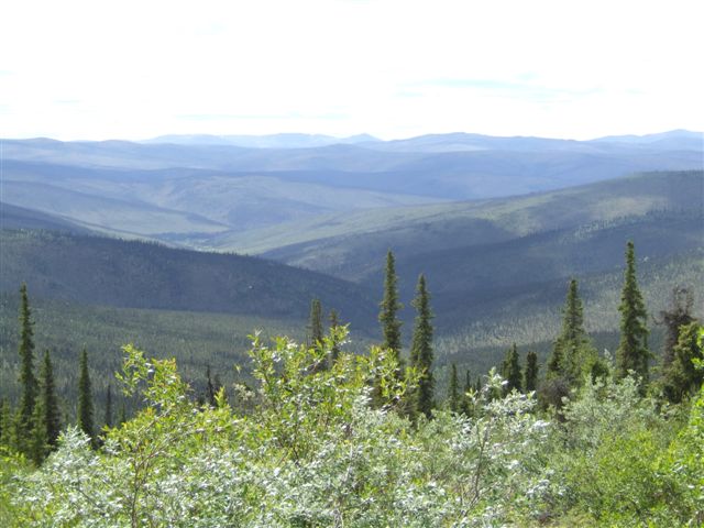 |
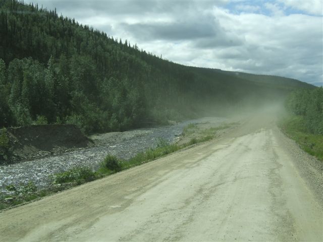 |
As we come down we start to follow streams again. There are a couple of RVs
a few hundred yards ahead of us. Hence the clouds of dust. |
| Another forest burn. They
are of different ages but they are often contiguous or even overlapping.
Sometimes an underground hot spot remains through the winter and the fire
restarts in the spring. | 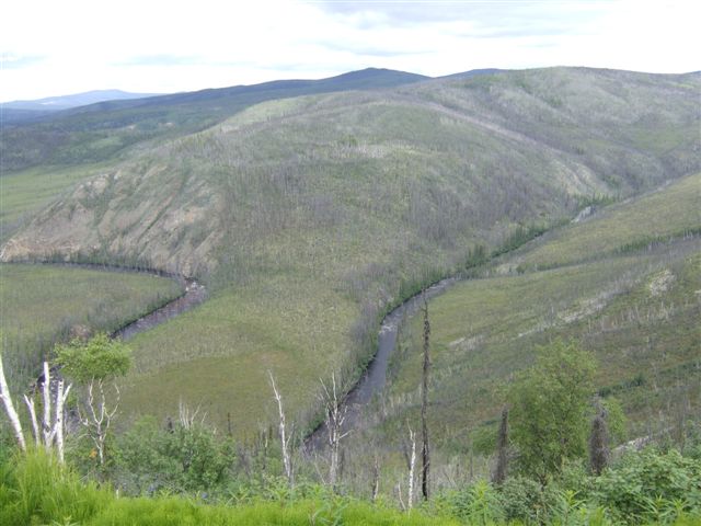 |
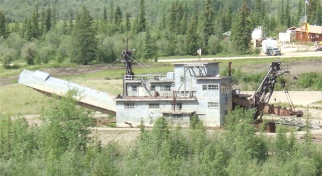 |
Finally we reach Chicken with this shot of the Pedro gold dredge. There are
several others in the area. This one was purchased for $1 and then moved
overland to its present display site, and now awaits restoration before it
can be visited by the public. |
| Town is an overstatement,
the population is less than 100 although at one time it was much more. The
story goes that they called it Chicken because nobody knew how to spell the
name of the state bird, which is the ptarmigan. | 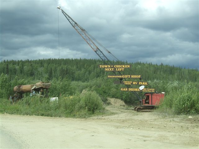 |
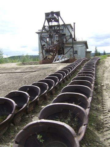 |
The dredge buckets laid out waiting for the time they can be put back in
place on the dredge. Many of them show evidence of repairs with pieces being
welded onto the lip. |
| Up on the underside of
the dredge tailings conveyor were these sand martin nests with birds
constantly flying in and out. Can you see a beak in one of them? | 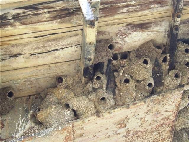 |
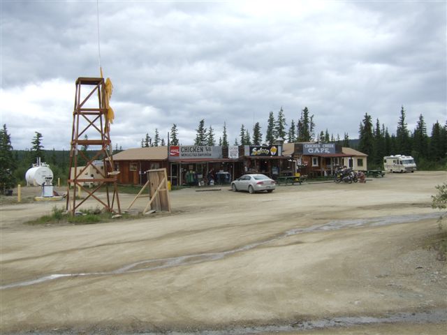 |
This is all that is left of the old town of Chicken. Today it is just a
tourist trap, although we did stop and have some nice chicken and bean soup
and a coffee. I'm sure the waitress was antipodean. |
| As we left we passed the
end of the airstrip, almost essential for these outlying communities. It is
100 miles to Tok although the road is now paved. Eagle is 100 miles to the
northeast behind us. | 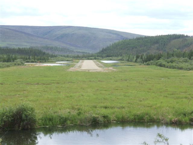 |
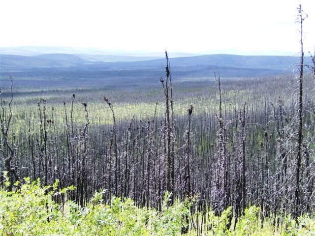 |
This is the Taylor Complex burn which basically reaches from Chicken to Tok.
Over 2000 sq miles burned in 2004. |
| There are stands of trees
which didn't burn. This means that the succeeding forest has areas of mixed
age which is good for the wildlife. | 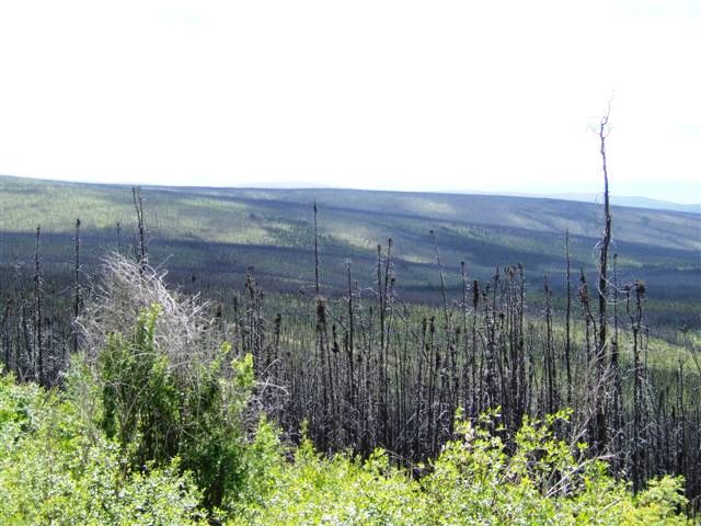 |
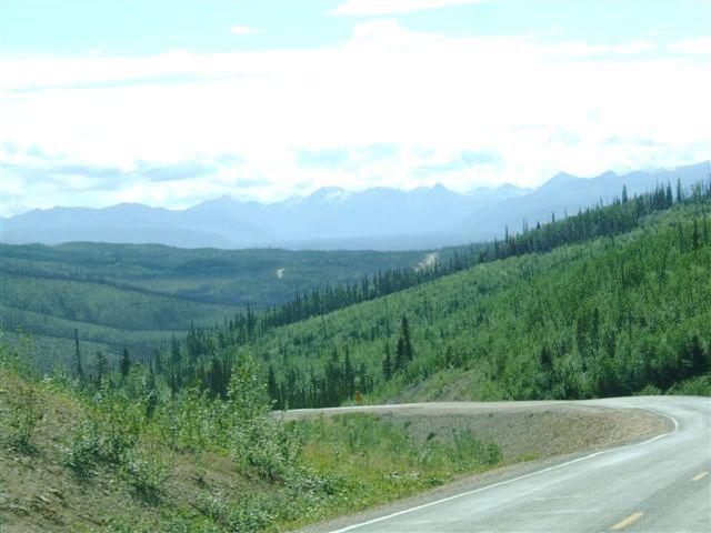 |
As we head west we begin to see the mountains of the Alaska Range in the
distance. |
| Finally we reach the
Alaska Highway and turn north for the final run to Tok. Just before we get
there we pass these masts. There are four masts which form the LORAN station
used for long range navigation in the days before we had satellites and GPS. | 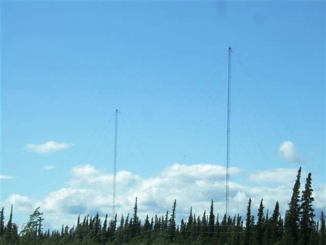 |
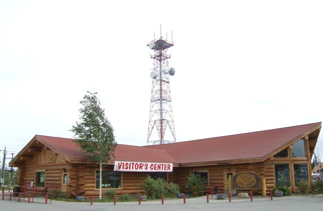 |
Finally in Tok after a hard day's driving. The microwave towers are part of
the communication chain up the Alaska Highway. |
| The big logs forming the
roof here are probably almost 200 years old. Trees grow very slowly up here. | 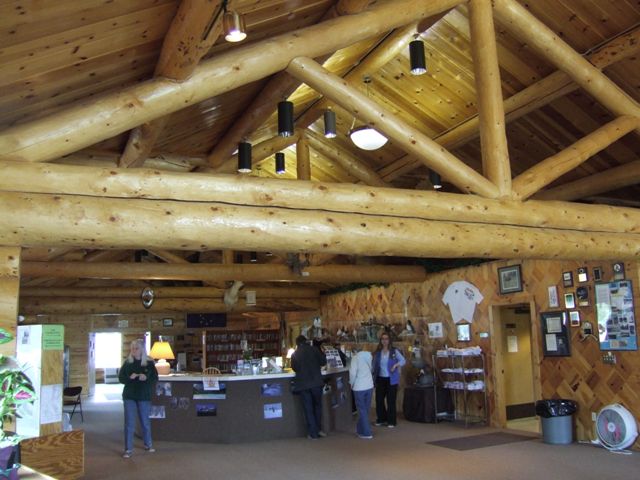 |
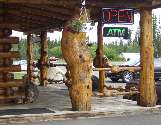 |
Burls on a variety of trees seem to be very common here and also highly
prized as decorative objects. There were some untreated pieces for sale here
but they were too big to put in a suitcase with the rest of our things. Jan
is fascinated by the art in them, |
| A member of the pussy cat
family but I suspect this one was a bit wilder. I'm not sure if it is a
bobcat or not. But it was stuffed and on display | 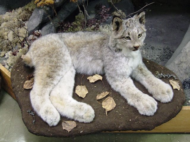 |
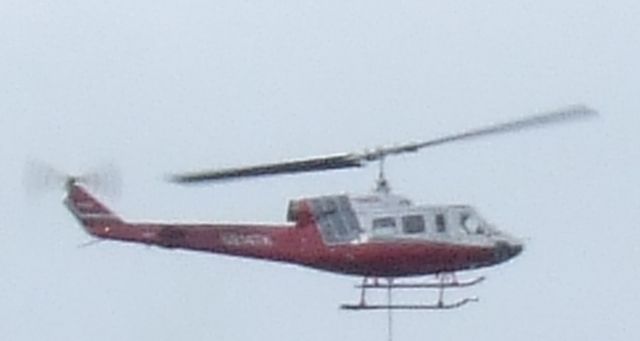 |
We were camped just opposite the airport and helicopters were practicing
delivering loads. They do make an awful lot of noise when they are hovering. |
|