| It is essentially Spring
here and the roadside verges are often lined with brightly coloured weeds,
including dandelions. Here we have the beautiful blue flowers of the wild
flax, which grows from northern Mexico up to the Arctic Circle. | 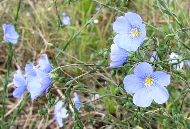 |
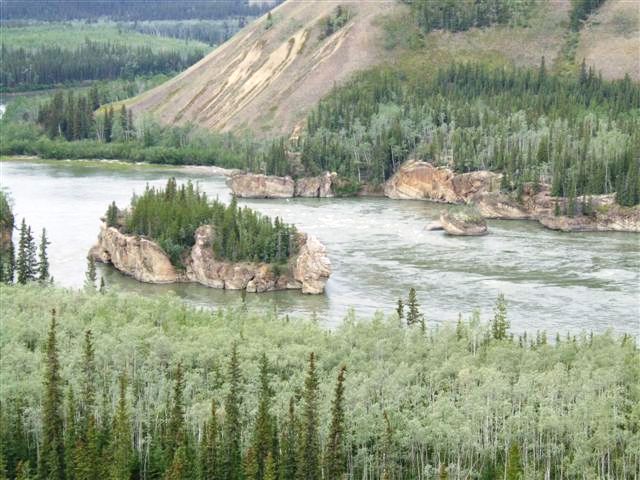 |
Travelling north from Carmacks we reached the famous 'Five Finger Rapids'
named because of the five fingers of water between the rocks on the Yukon
River. The sternwheelers used to winch themselves up the nearest channel
using a steel hawser which is still there. |
| You can walk down to the
rapids but it takes over an hour and we didn't have the time. The plaques on
the landings talk about the wildlife.. | 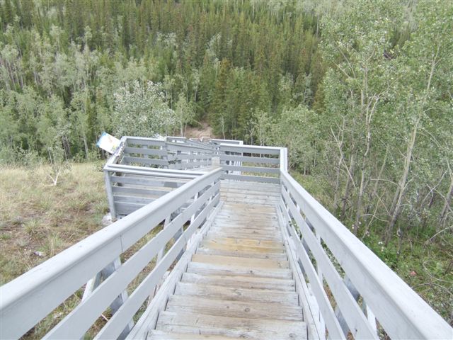 |
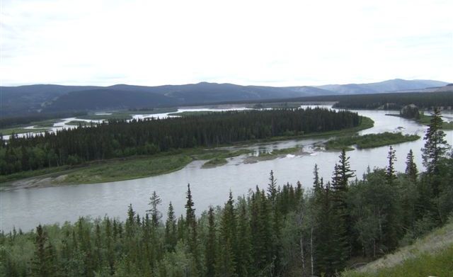 |
The river has a lot of water but the valley bottom is very flat so the river
spreads over a wide area. This attracts a lot of wildfowl at certain times
of the year. |
| It is very difficult to
spot the main channel but when the snows melt all this area will be covered
in water. | 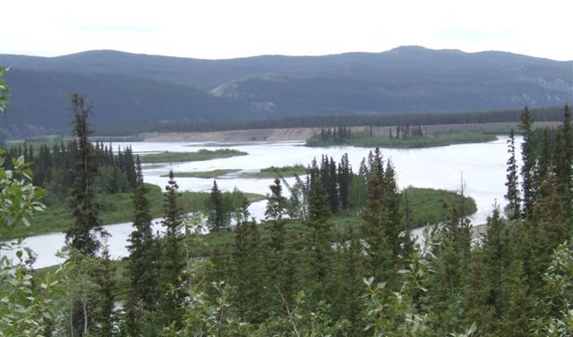 |
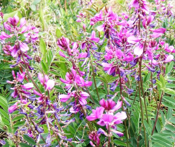 |
This is either wild sweet pea or northern sweet-vetch. The book says it is
difficult to tell them apart, but the latter is poisonous, important to know
if you were looking for the former to eat. |
| We have passed many burn
areas ranging from the 1950s to the present day. Re-growth is very slow as
the growing season this far north is only about three or four months. The
deciduous aspens come first followed by the spruces. | 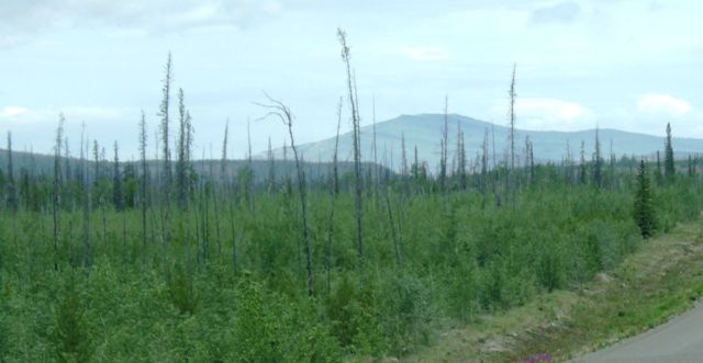 |
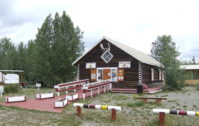 |
There are few signs of habitation on the road. One is at Pellys Crossing
where we found this interpretative centre for the Selkirk nation.
Unfortunately it was closed. There are over 18 separate recognised First
Nations present in the Yukon alone. They originally spoke 15 different
languages. Today most speak English. |
|
As often happens when you cross a river the road promptly climbs. This
is looking back over the Pelly river to Pelly Crossing. | 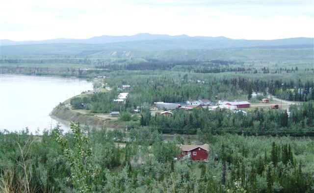 |
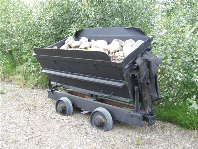 | There
is a small visitors centre at Stewarts Crossing telling you about the
silver mining in the area to the north east. |
| This is the bridge at
Stewarts Crossing. The road splits at the far end. We will go left to Dawson
City. Right is the spur road to Mayo and Keno City, mining areas over 100 miles to the
north east. If you go there you just have to come all the way back again. | 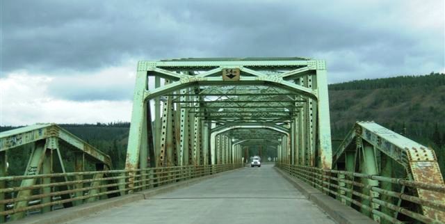 |
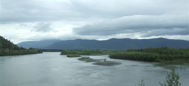 |
The Stewart River is as big as the Yukon into which it will shortly flow,
along with several other major rivers like the Pelly and the Klondike. |
| The road follows the
river for a while before climbing up and over into the next valley. A
'while' can be 50 miles up here. | 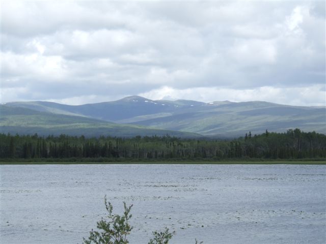 |
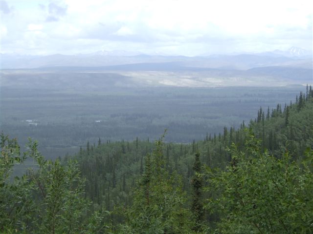 |
This is the Tintina Trench, the largest geological fault in North America.
It is a major route for migrating birds particularly sandhill cranes heading
south-east from the Arctic. |
| Back to the Yukon River
and almost at Dawson City. the bridge carries the Dempster Highway up to
Inuvik in the Northwest Territories - another dead end, this time 400 miles of gravel and only services
at Eagle Plains, halfway. | 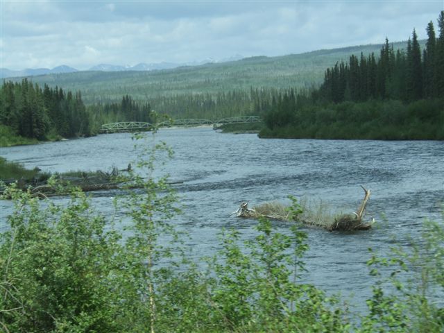 |
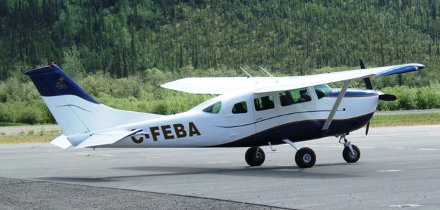 |
It is no wonder that much of the travel up here is now by air. Almost every
settlement has an airstrip, often grass. Dawson City has a real airport with a tarmac
runway! |
|