 |
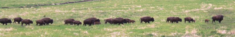
| Leaving Fort Nelson we spotted this buffalo 'migration'.
Sadly the herd looked to be less than a hundred and it was a farm. But the
signs said watch for buffalo on the road - so we did! |
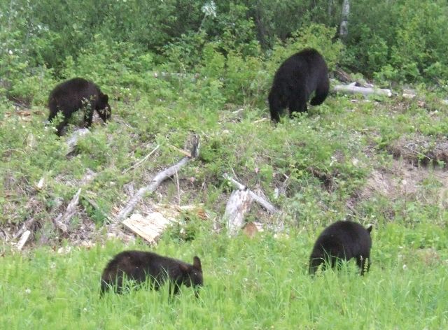 |
However what we got was bears. This mother and three cubs were feeding on
the verge and were relatively unperturbed by the passing traffic. At this
point though they were heading for the bushes. |
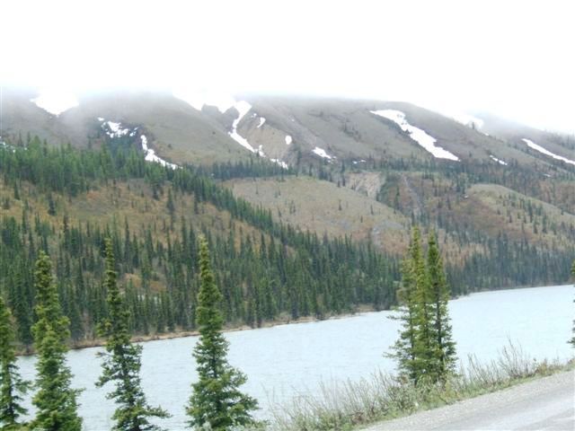
| We alternate between long
straight roads and mountains and valleys with rivers. But the trees are
always there. So too are the clouds, often hiding the tops of the mountains
as the rivers meander along the valley bottoms. | 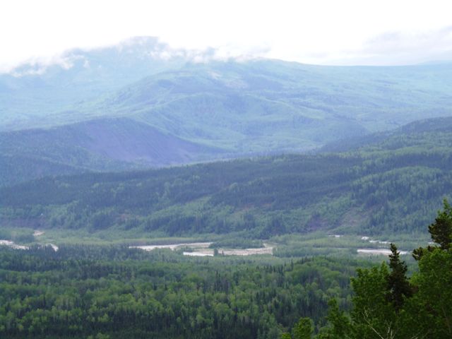 |
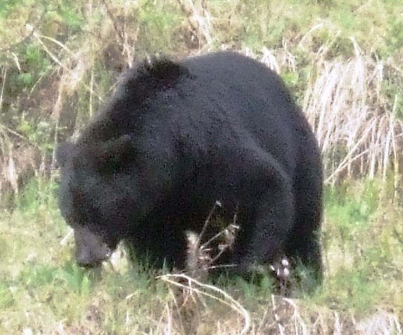 |
It was a good day for bears. They can be tricky to spot and sometimes a bit
far away, hence the graininess in this photo. |
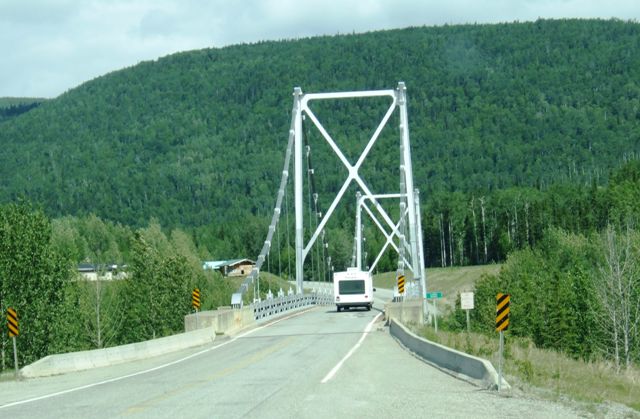
| This is a very common
design of bridge and we must have crossed dozens. This is a bit bigger than
most because it has two sections. | 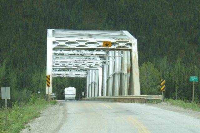 |
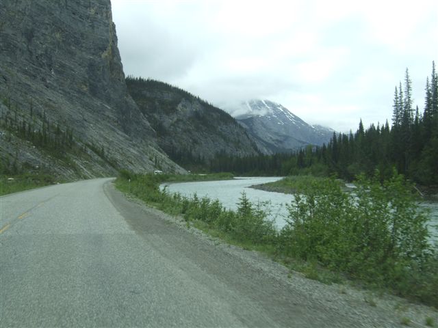
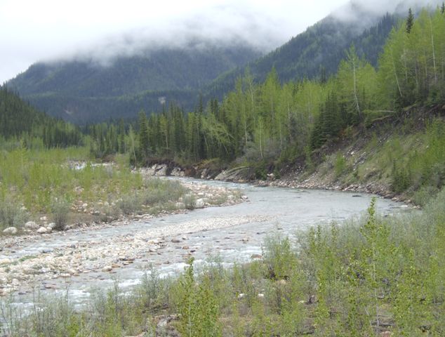 |
We are quite high up and so the rivers are more properly creeks and the
creek beds are quite stony. |
| No, it isn't water, it is
stone. The water is in there somewhere and at times of the year will cover
all of this - but for the moment it is but a trickle. | 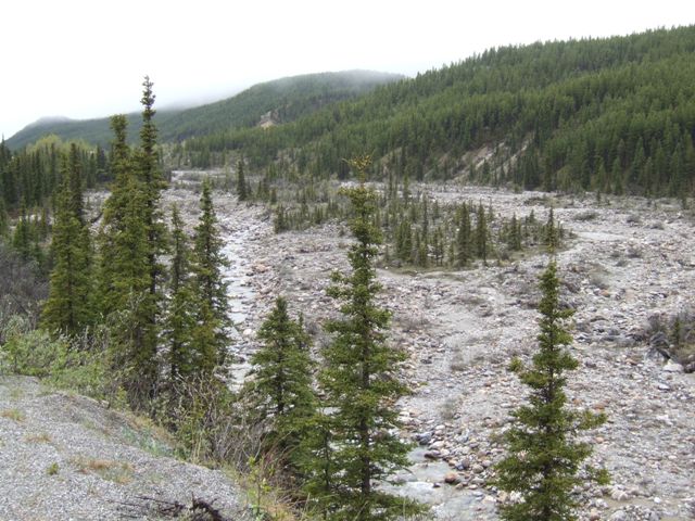 |
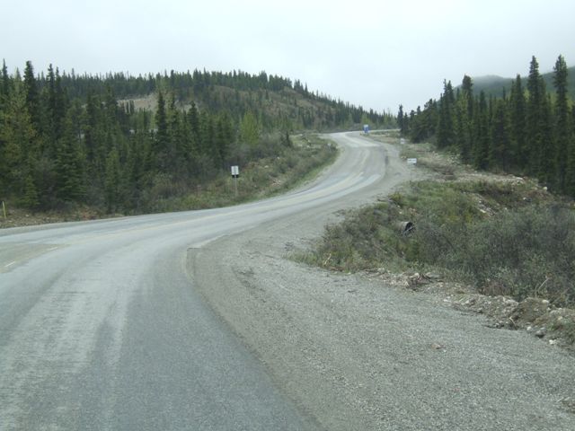 |
Having driven a section where the road had been straightened (they took out
132 curves), this bit hasn't. We are lucky to make 40mph and it went on for
over 100 miles. |
| This is Summit Lake. This
is almost the highest point on the whole Alaska Highway at 4250ft. The
clouds hide the tops of the hills. | 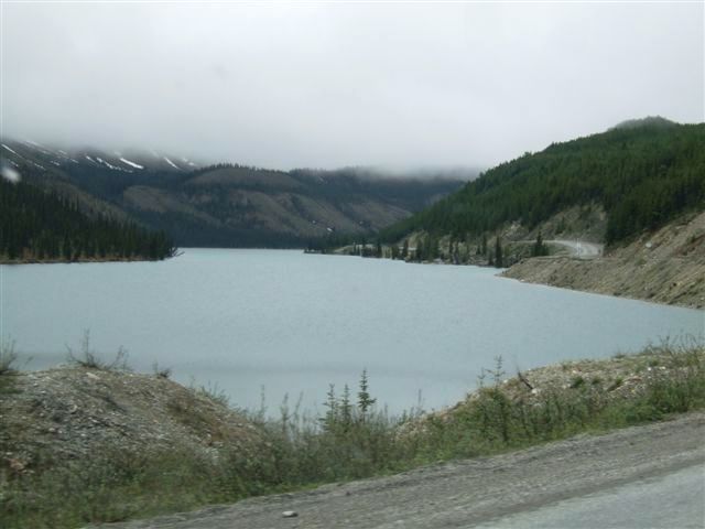 |
 |
Snow is in evidence and the lake is often still frozen in June although it
doesn't appear to be this year. |
| We are now heading down
the other side from the summit. This is quite a haul going south. The road
is narrow and there are steep drops to the side. Rock falls are commonplace. | 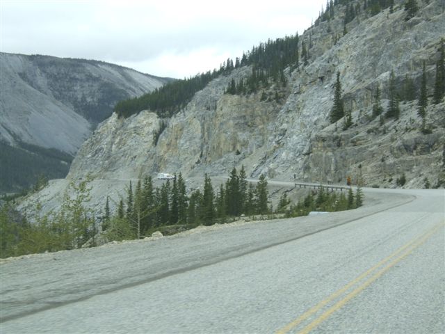 |
 |
This is pretty wild country. I would not want to get stuck up here in a
winter storm. |
| But back down at the
valley bottom (still at 3500ft) the rivers are flowing and it seems safer. | 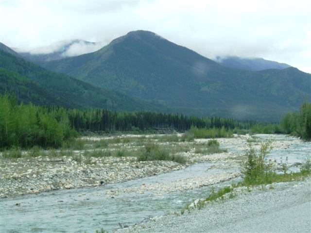 |
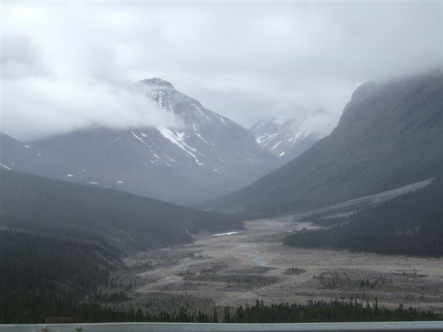
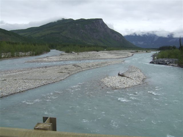 |
This is definitely a glacial valley bottom. The river takes multiple routes
because it is so flat. This is MacDonald Creek, named after a Cree Indian,
but elsewhere we have the less prosaic 113 Creek. |
| This is Toad River Lodge,
obviously a place to pause after a fairly tiring section. | 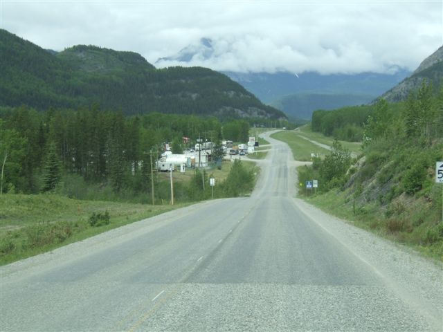 |
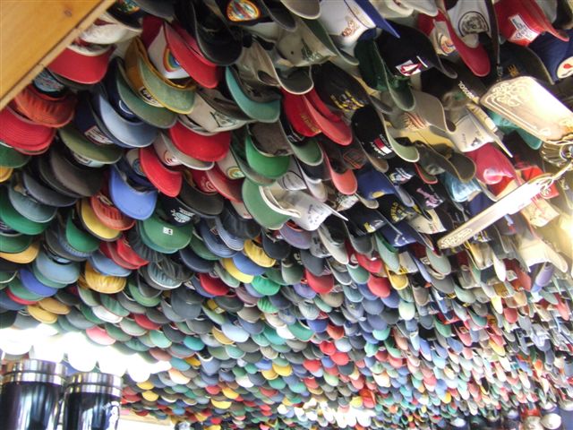 |
The lodge is famous for its collection of hats (mostly baseball caps) which
hang from the ceilings. There are reputedly over 6000 of them. |
| Onward towards Folded
Mountain. 175 million years ago this area was a flat sea bed. Then as the
continental plate moved west and collided with the northern Pacific plate
the Rockies were pushed up higher than the Himalayas, folding the rocks. 45
million years ago all that stopped and they have been eroding ever since. | 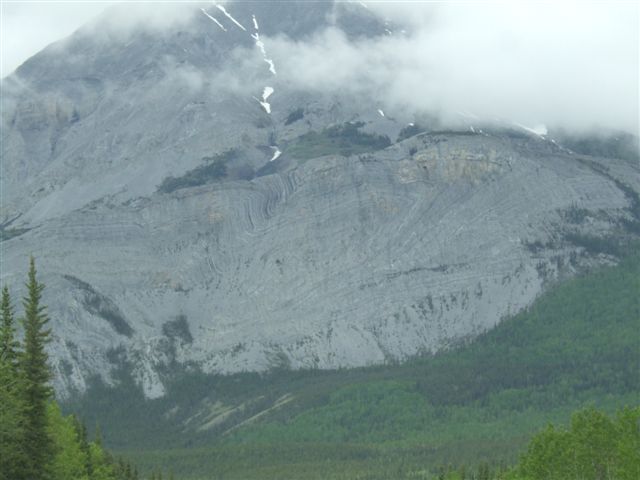 |
 |
This is Toad River - good fishing for grayling. |
| At times the topography
gets too difficult and the road goes up and over, twisting and turning as it
goes - another very slow section. | 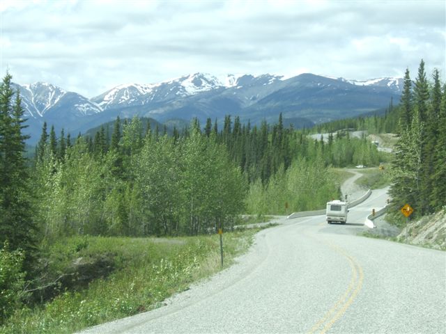 |
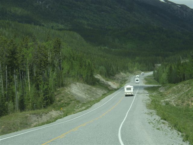 |
There is almost no traffic on the road but what there is is mostly RVs,
often forming caravans as here. |
| The Rocky Mountain peaks
are quite impressive, many still with remnants of snow as we approach the
longest day of the year. | 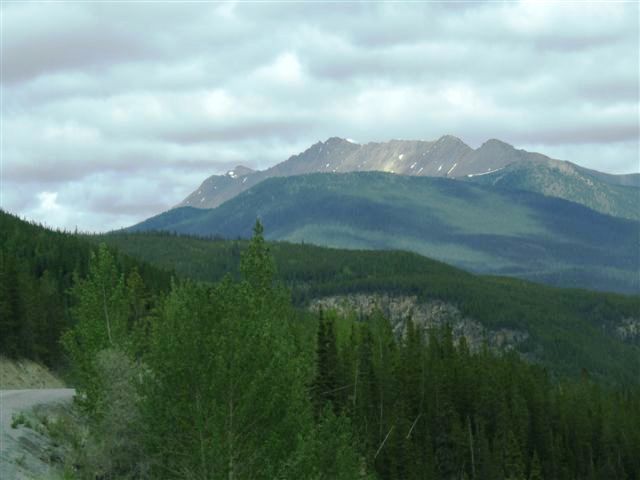 |
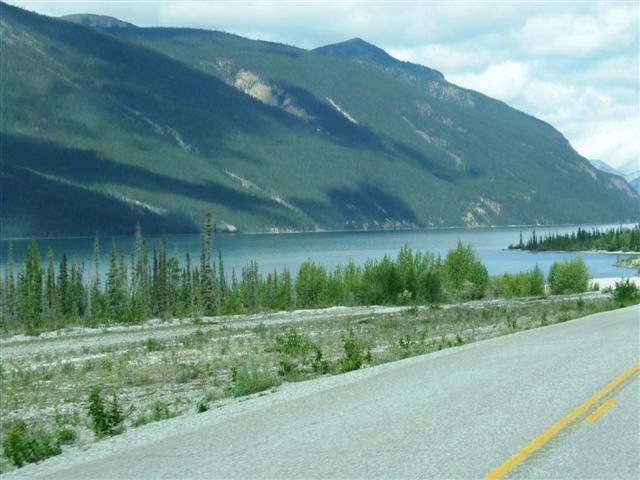 |
And so we reach Muncho Lake. The road used to go over the top but is now
benched into the side of the mountain at low level. Rock falls are common. |
| It is very picturesque
and would be photographed more if the road was wider and had turnouts, but
we were stuck in a caravan. | 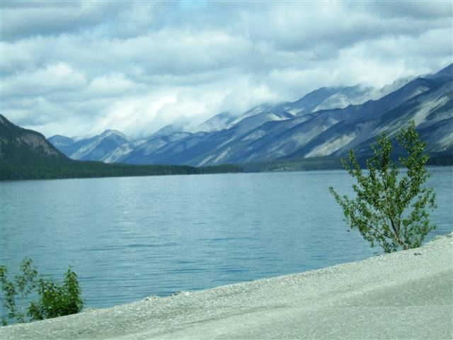 |
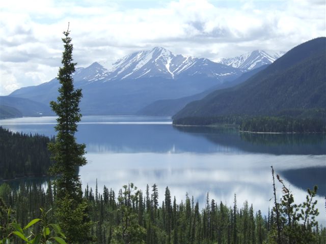 |
Looking back from the north western end of the lake - this is picture
postcard stuff. |
| Another of the historic
mileposts. Ernie Birkbeck was a roads inspector. | 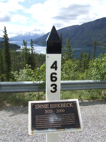 |
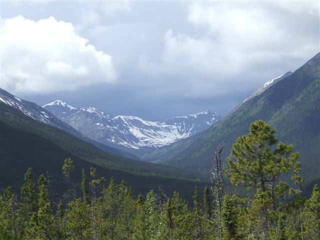 |
Just a glimpse of the snow covered mountain down a side valley. |
| We arrive at the Liard
River. This is one of the really big rivers collecting from hundreds of
creeks eventually flowing into the Mackenzie River and then Arctic Ocean. | 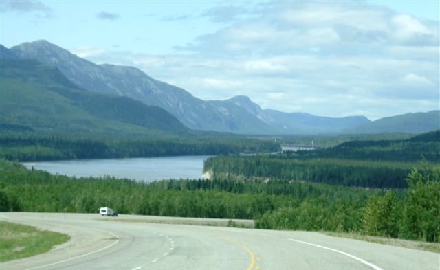 |
 |
This is the 1147ft Liard River suspension bridge, the only suspension bridge
remaining on the highway. It is 1400ft above the river. |
| The Liard at this point
is already a huge river. So we arrive at Liard Hot Springs, noted in
Milepost as one of the highlights on the journey. | 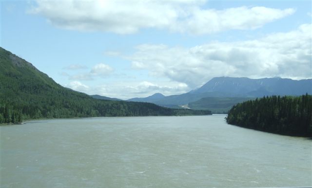 |
|