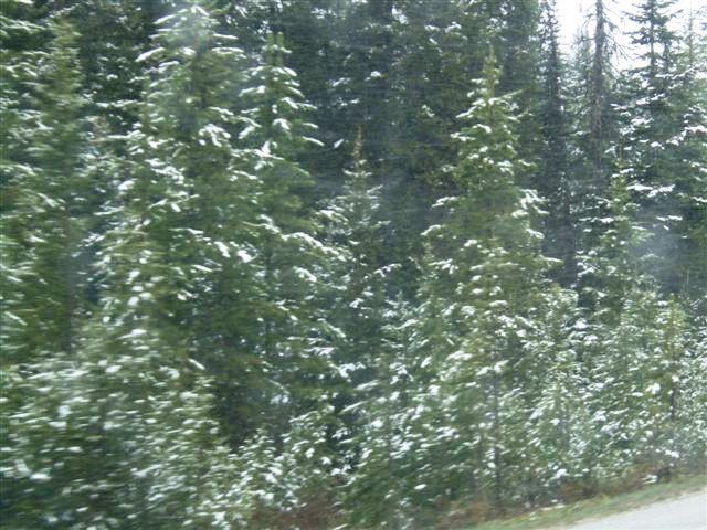
| Snow was forecast and
snow we got, although not the 30cm they had at Calgary over to the east. The
Albertans blamed high pressure over Saskatchewan. This is the coldest it has
been at this time of year since 1948. | 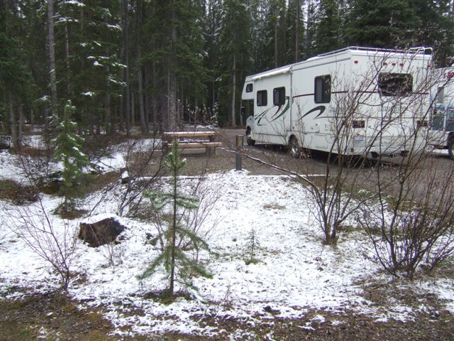 |
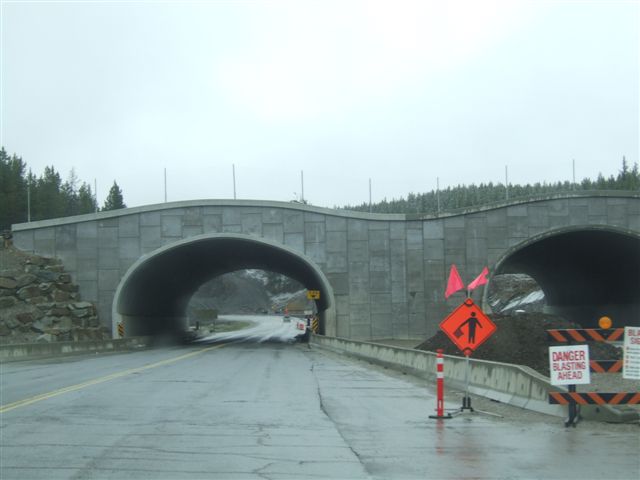 |
There are major road works 'twinning' (building a second carriageway) the
Trans Canada highway. These overpasses are not for secondary roads - there
are none - but safe pathways for the wildlife to cross the road. |
| We went westward for a
few miles down into Kicking Horse Pass to see the famous spiral tunnels.
Trains enter through one portal (bottom right) and exit through the other.
It is possible to see one end of the train pass over the other having
completed a full circle inside the mountain. | 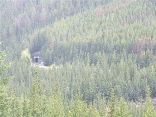 |
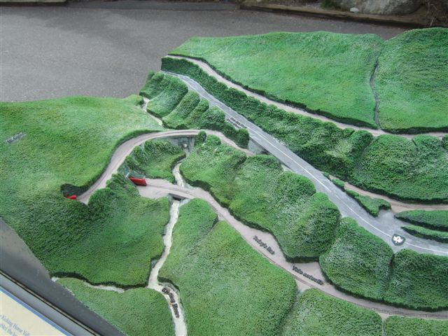 |
I thought I built small scale models but even I don't work this small. The
red bits are either ends of a train. There are two spiral tunnels but the
topography means that tourists can only see one. They enabled the ruling
grade to be 2.2% instead of the original track (now the roadway) which was
4.5%, a dangerous gradient for a train. |
| Sadly this time we did
not get to see a train. Last time I had a shot of a train with four locos on
the front, two in the middle and two at the end. | 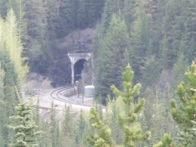 |
 |
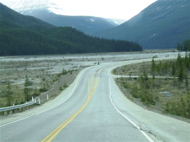
So back up the hill and a turn north onto the Icefield Parkway, one of the
drives in the world. At 6500ft we had snow on the trees and we wondered if
we would have to turn back as we had had to do last time. |
| But no, it was fine,
although visibility meant that many of the views were disappointing. | 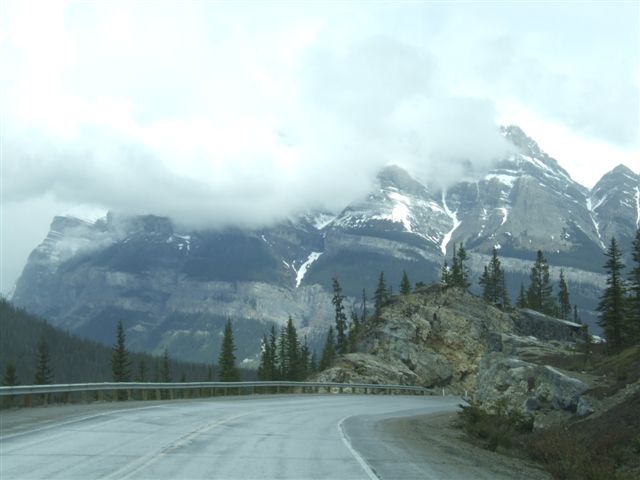 |
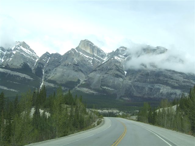 |
Occasionally the clouds cleared briefly but the higher peaks often remained
unseen. |
| We have travelled the
road before (in the opposite direction) not that we remembered much of it. | 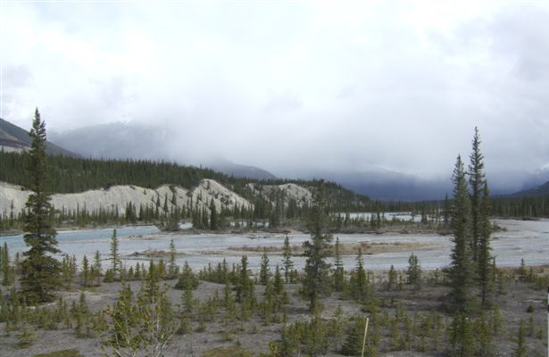 |
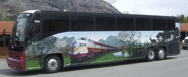 |
There are no trucks over 4500kg but lots of coaches, some of them with
beautiful artwork. |
| They were mostly full of
Asian tourists who jumped out with their huge cameras and started filming
everything Odd since they would mostly see clouds. | 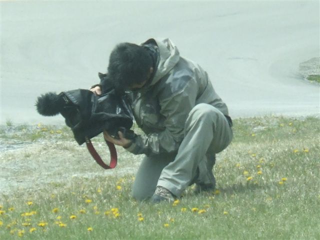 |
 |
The bottoms of the valleys are often very flat as one would expect from
their glacial origins. |
| A geologist would know
the correct terminology for this terrain. It just shows the tremendous
forces that were needed to thrust the strata of rock up at these angles. In
some places it was even more obvious that the trees were rooted into the
looser soils separating the strata. | 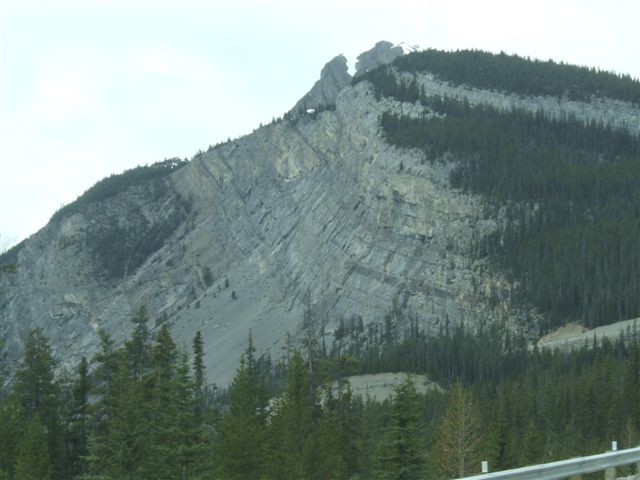 |
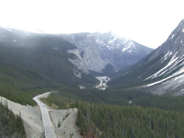 |
At some points you climb out of one valley in order to descend into the
next. It can lead to some spectacular views despite the poor visibility. We
are back up over 6000ft. |
| This is Bridal Veil Falls
on the slopes of Cirrus Mountain which descends into Nigel Creek. It
originates from the Huntington Glacier. It falls 1200ft and is up to 20ft
wide. The largest section falls 400ft. | 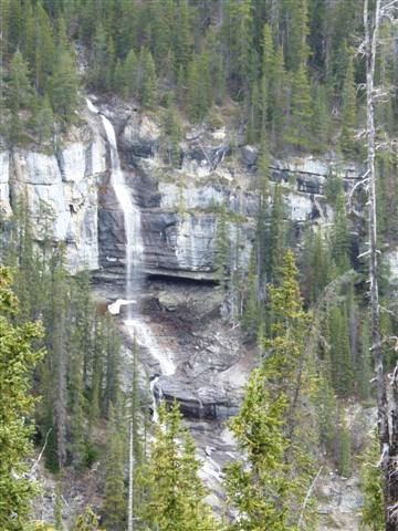 |
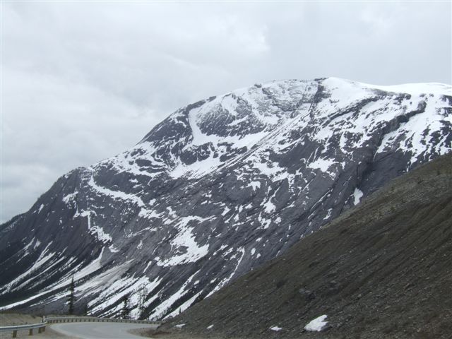 |
You know when you are high up because there is snow below you! |
|