| Travelling north
from Boise we found this tourist railway at Horseshoe Bend. There are a
couple of these 1955 era locos on the stock list. | 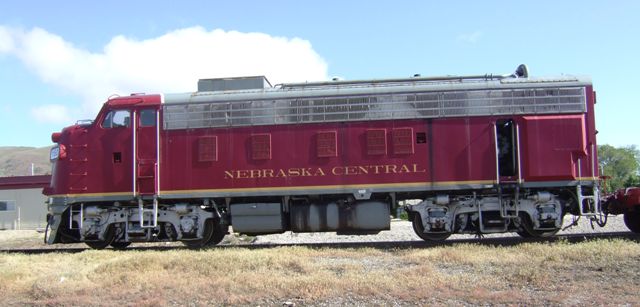 |
 |
Just in case you aren't sure of where you are. The locos may be from
Nebraska but this is more likely to be the home railroad. |
| If you aeren't sure of
what sort of railway it is, then this modified flatcar with seats and a roof
tells you that this is most definitely a tourist line. | 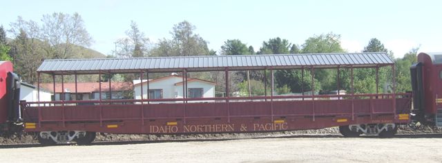 |
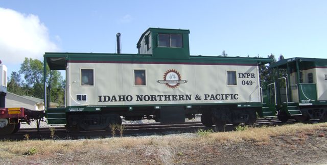
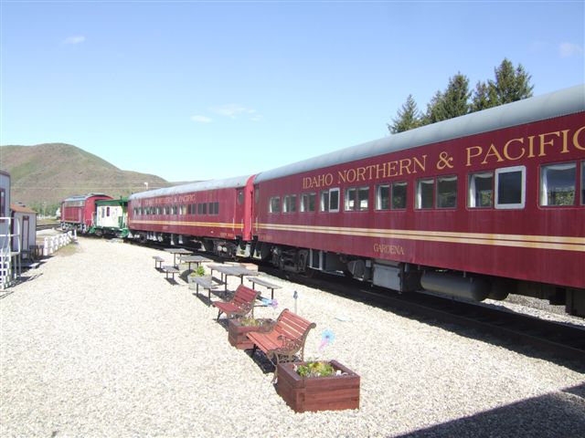 |
Not that they don't have real coaches each with local names and now probably
over 50, maybe 60, years old. |
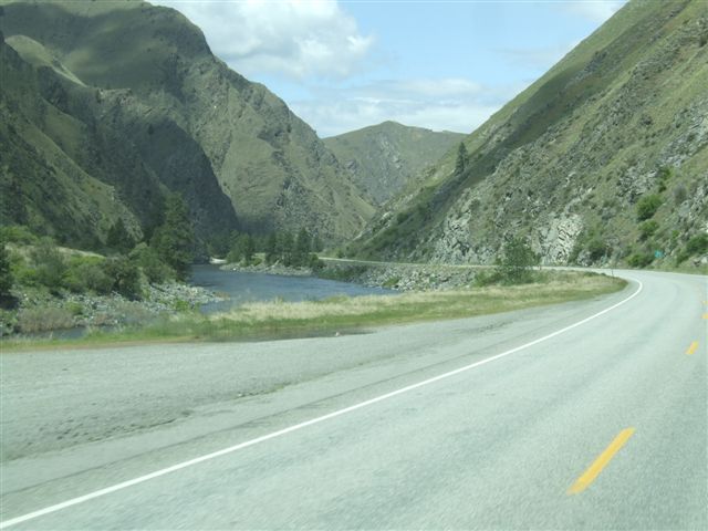
| We headed on up through
the valley following the line of the river up to the plateau. | 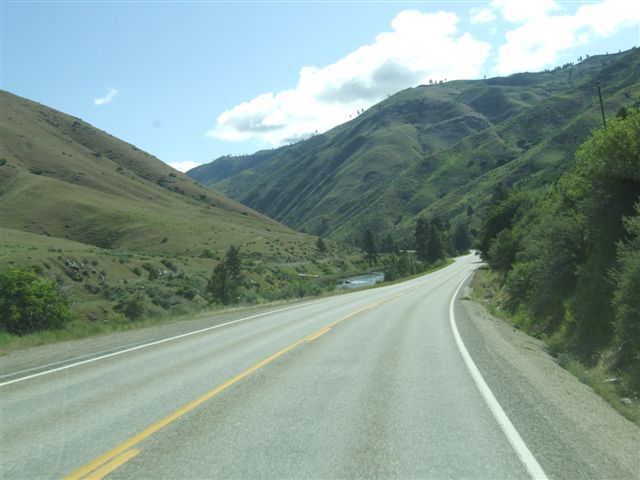 |
 |
Many roads in areas like this follow the rivers. The roads are probably
built on tracks that have been used in the past. There are few towns and
people in the middle of Idaho. |
| At the head of the valley
we found a plateau up at 5-6000ft. We crossed this for a while before
following another river down from the plateau. | 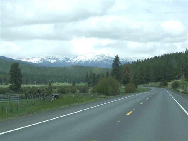 |
 |
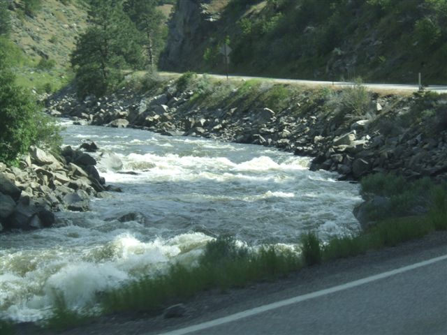
This is the :Little Salmon River. We stopped for lunch in a rest area. |
| American robins are much
larger than English robins. | 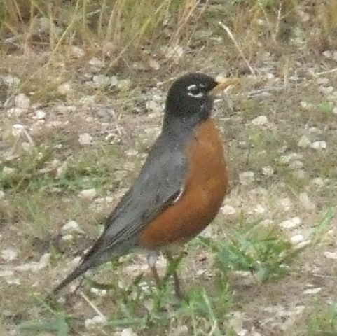 |
 |
We followed this river valley down for over 50 miles. This is serious
fishing country. When the salmon are running you can't move for fishermen,
much less find a campsite. |
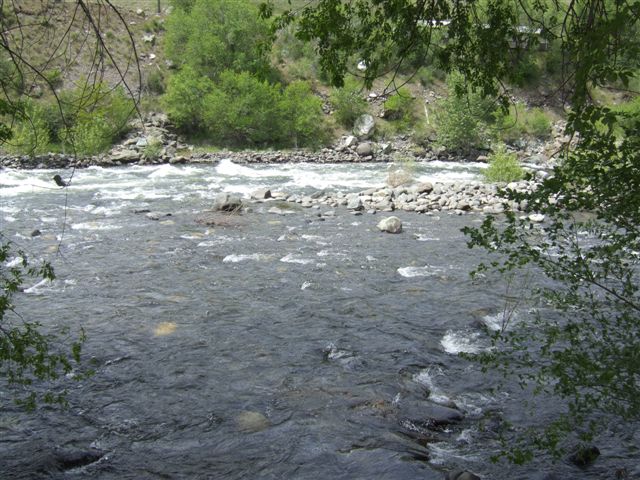
| This area and the area to
the east were the site of a serious gold rush in the 1860s. This caused
considerable problems with the Indians. The marks in the banks are where the
gold miners used powerful water jets in a technique known as hydraulic
mining to wash the gravel down so the miners could pan it for gold. Most of
the gold was found in one year about eight miles to the west of here at a
now non-existent town called Florence. | 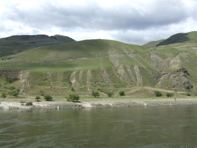 |
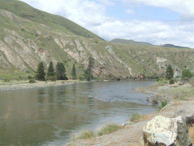 |
Today fish are more valuable than gold along the Little Salmon River. Water
started to carve this canyon over 15 million years ago. The Snake River runs
in the even deeper Hell's Canyon just 8 miles to the west. |
| Eventually we leave the
river valley and climb up to cross the next range before we reach Lewiston. | 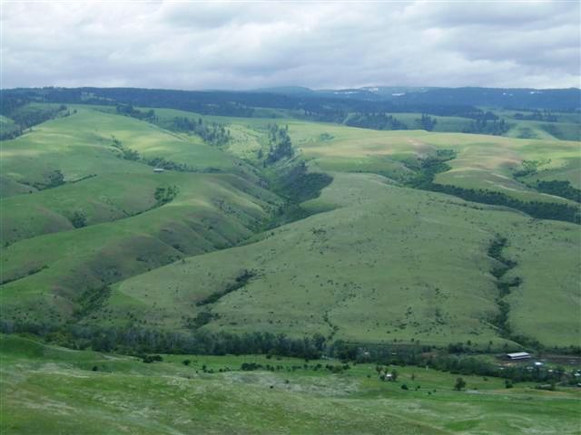 |
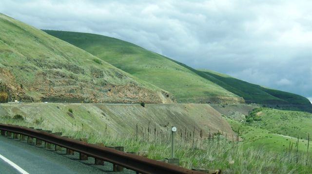 |
The roads are good but the climbs are long as we toil up to the top of White
Bird Pass (5700ft). |
| The views back are
spectacular albeit mostly empty of human influences | 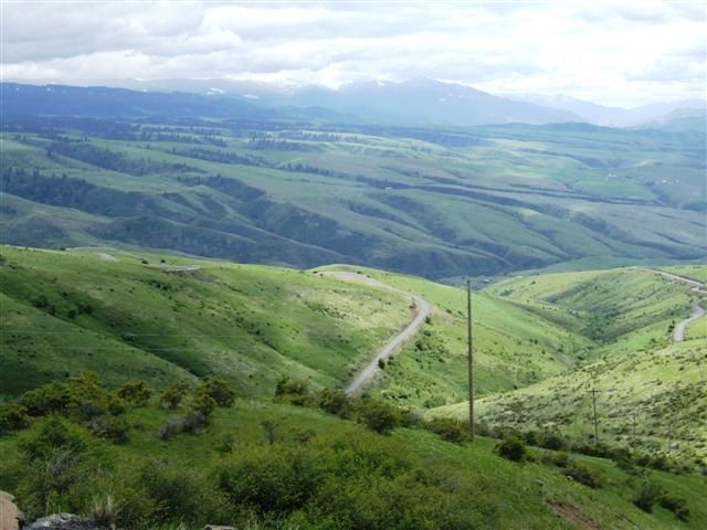 |
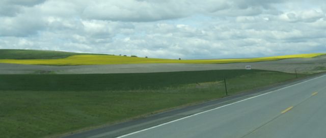 |
Finally we reach the plains and start heading towards Lewiston. We begin to
find crops including the startling yellow of oil seed rape. |
| There was a railroad in
this area which required some serious viaduct building. Many were in wood
although this one is built in iron. This may have replaced an original in
wood. It is 1500ft long and 296ft high/ | 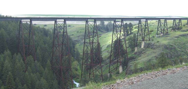 |
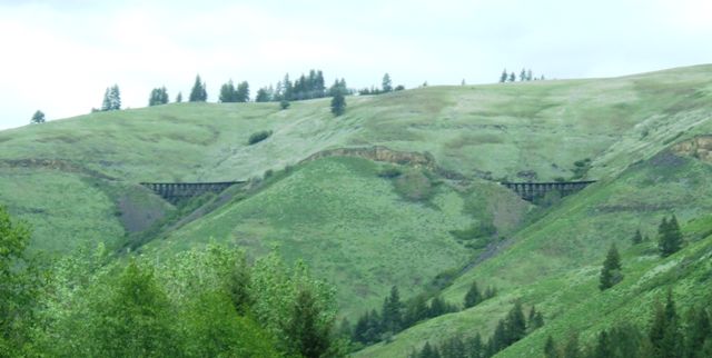 |
The railway was obviously a spectacular achievement since there are many
viaducts still in place. There is supposed to be the largest wooden viaduct
remaining somewhere near here but we didn't find it. They carry the railroad
down to the Camas prairie. |
| We had a brief pause at
the town of Culdesac. Oddly there is a road in and a road out which kind of
makes a nonsense of the name. | 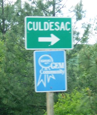 |
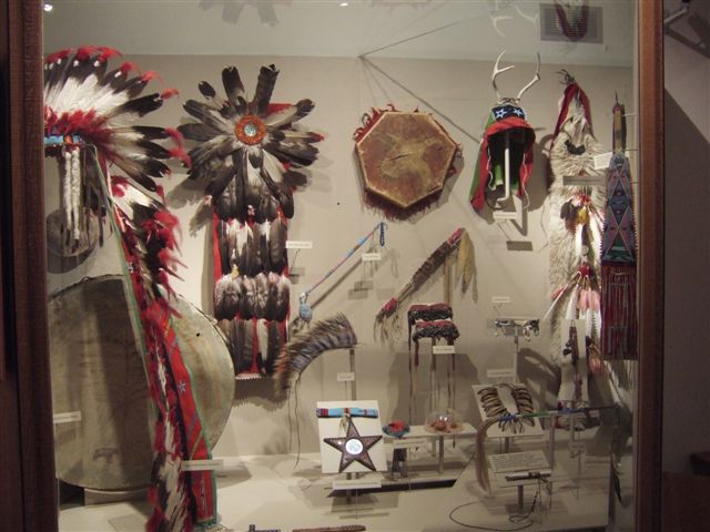 |
Just before we got to Lewiston we found an information centre for the Nez
Perce Indian nation. This has a small museum full of artefacts. |
| The arrival of the horse
had a great impact on many of the Indian nations. They were prized and
regarded as part of the wealth of the nation. For ceremonial occasions they
were adorned with finery just as the people were. | 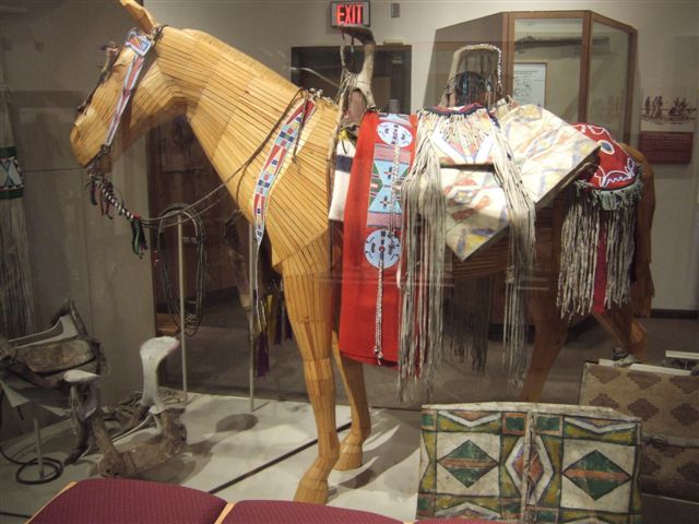 |
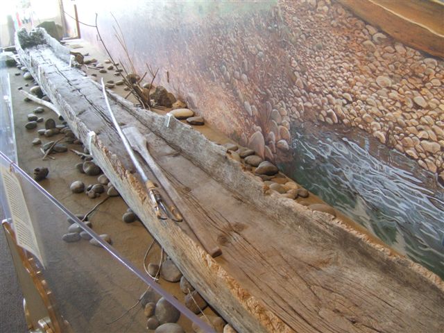 |
Canoes were also important to the Nez Perce who were a great trading nation.
This one is 29ft long and was carved out from a single douglas fir. |
| Arrived at Clarkston,
which is on the Washington side of the Snake river while Lewiston is on the
Idaho side. Though they are miles inland, they do actually have a port with
serious river barge traffic heading downstream.. | 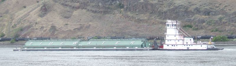 |
|