| Leaving Flagstaff we headed north and east across the
high desert plains. This is the reservation land of the Navajo and
Hopi Indians. It is empty and barren and inhospitable. The few towns are no
more than a cluster of petrol (sorry - gas) stations. | 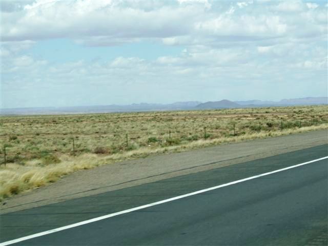 |
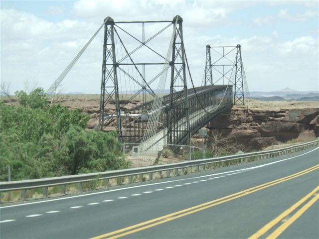 |
The road heads north towards Grand Canyon before we turn east to Tuba City.
This bridge across the Little Colorado river is one of the few signs of
human presence apart from the road. |
| The road here is in excellent condition but often arrow
straight for miles. All this area is up at 6-7000ft and trees are almost
non-existent. There is little traffic apart from big trucks and an endless
stream of Cruise America (rental) RVs. | 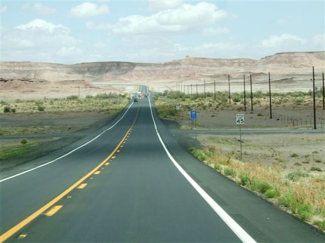 |
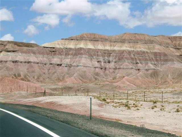 |
The colours are spectacular though. This whole area used to be a sea despite
the fact it is now at 7000ft and bone dry desert, hence the colourful layers
in the sandstone caused by the presence of different minerals in the
sediments. |
| And the road goes on, not
always of such good quality. Off to the left is a line of masts supporting
a catenary for an electric railroad. This is the Black Mesa and Lake Powell
railroad which runs for 74 miles from the mine at Kayenta 20 miles ahead to
the power station at Page. It is not connected to any other railroad and is
the only non passenger railroad in the US. | 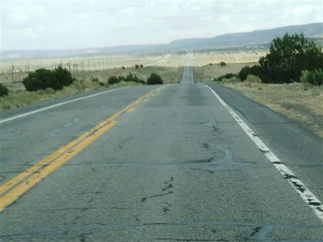 |
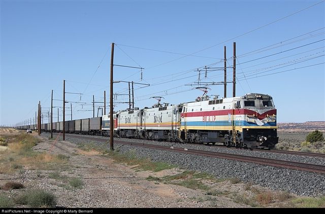 |
It is electrified at 50kV (twice the UK standard) and uses E60CH locos. The
originals were bought from Amtrak in 1974 and retired in 2003. These were
bought from Mexico which bought them for a railroad which never got built.
They make three trips per day carrying a total of 25000 tons of coal per
day. |
| This is the Kayenta mine,
one of two on Black Mesa. Utah has the largest coal reserves in the USA. The
royalties from the mines provide over half the income of the Hopi and
Navajo. The other mine supplied a power station in Nevada via a coal slurry
pipeline 230 miles long which used a billion gallons of water. The power
station and the mine have now both been closed because of the CO2 emissions
and the impact on the water table. That must have been a hard decision for
the tribes. | 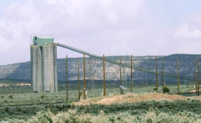 |
 | There is talk of closing the power station at Page which is
the 8th dirtiest in the US. But this would impact on the Glen Canyon
hydroelectric scheme and significantly affect the resilience of peak power
supply in the Phoenix area, increasing the probability of brownouts. Another
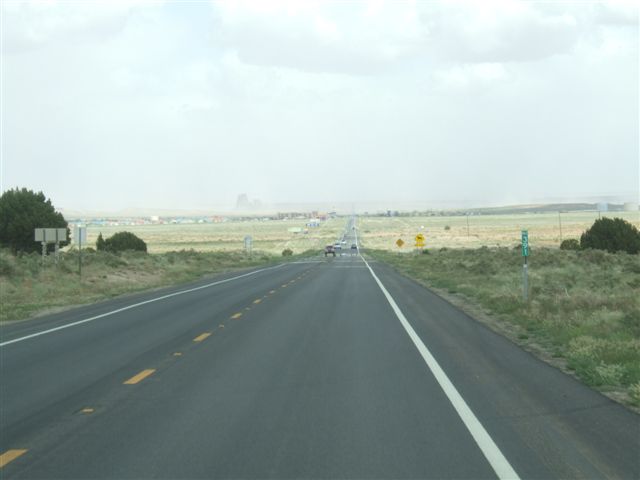
very tricky decision Back to the long straight roads as we head north from
Kayenta towards Monument Valley. |
| There were rainclouds all
around us and some people were drenched but we had nothing as we approached
Monument Valley. | 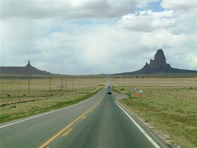 |
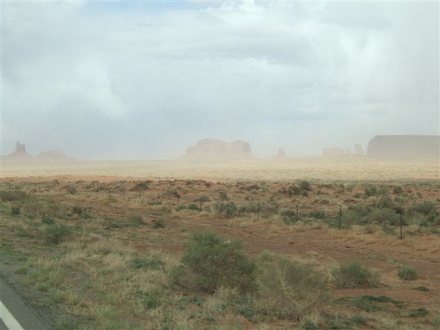 |
However there were strong winds which were blowing a lot of sand about (and
us). This made visibility quite poor. |
| The columns are very
impressive though and many people regard this as the eighth wonder of the
world. We have been here before though so we didn't stop. | 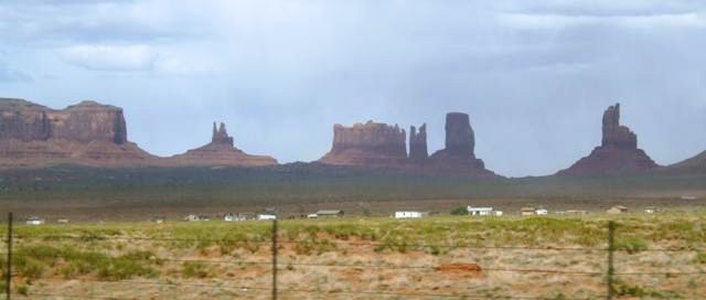 |
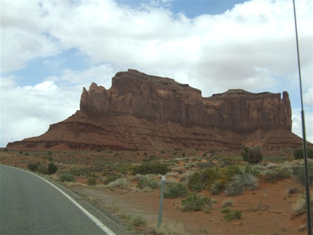 |
The rocky outcrops are very impressive as we move into more undulating land
as we continue north and east. |
| The texture of the
terrain changes and the colours move from red to grey. A geologist could
explain this better. This is near Mexican Hat. The church in the foreground
is typically neat. It is a very religious area. | 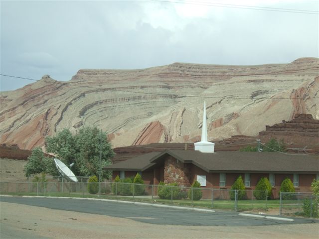 |
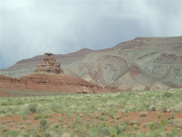 |
This is the rock after which the town of Mexican Hat gets its name.
Distinctive but I'm not sure I see the Mexican connection. |
| More coloured cliffs.
This occurs when the flat sediments have slid into a hollow - only a few
million years ago. |  |
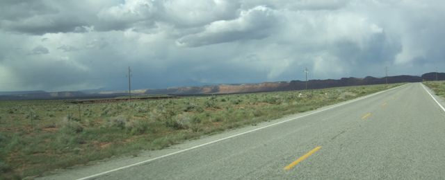 |
There have been some cliffs but mostly it has been flat all day - with dead
straight roads. |
| But we do eventually
start to climb again as we pass through Bluff and finally reach Blanding. 70
miles short of our target, Moab. Since we started 70 miles short and we
started late because we had some snags to fix, we have not done badly. | 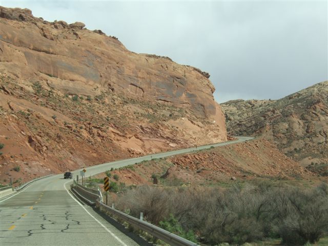 |
|