| Many of these pages cover specific places we have visited but it
is important to realise that between these places there are often
considerable distances that are of merit in their own right. This page
covers two days and a journey of over 500 miles of stupendous country and
significant change. The road across Kansas and the first half of Colorado
was basically flat although the mountains have been in view for some time. | 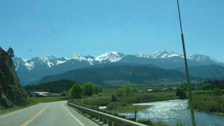 |
 | From
Cańon City the road is still only climbing gently up the river valley of
the Arkansas. The road and river (and a railway line) run side by side for
many miles, climbing gently. Eventually the road leaves the others and
begins a steeper climb. |
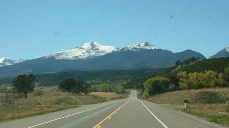
| We left Colorado Springs at a mere 6,000 ft (half as high again
as Ben Nevis) and at the peak of Monarch Pass we are at 11,312 ft. The RV
is running less smoothly, and so are we if we attempt anything more
strenuous than watching the stupendous scenery. At 10,000ft you pass the
snow line (even in May the ground in places is still frozen). | 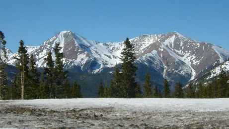 |
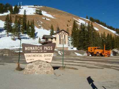 | The
summit marks the Continental Divide, the point at which water flows go
either east or west. The mountain tops are still several thousand feet
above you with a cable car ride to the top in season. The rotary
snowplough permanently stationed here is a reminder of how fast conditions
can deteriorate at this altitude. |
| Coming down the western side brings you into a different type of
country, more arid, generally higher, and the rock formations are
different. We start following the Gunnison river which leads into the
azure blue waters of Blue Mesa Lake (actually a reservoir) which is many
miles long. To us it also looked as though it should be much larger and we
are reminded of notes on the weather channel about how short of water this
part of the country is. This lake looks to be some 40ft below where it
should be. | 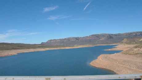 |
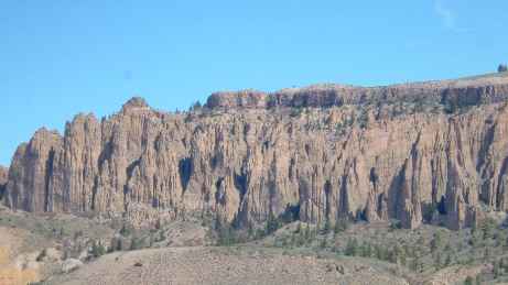 | The
rock formations above the lake are spectacular and majestic (words we will
learn to have completely new meanings in the coming days). I don't begin
to understand the geology behind these formations. |
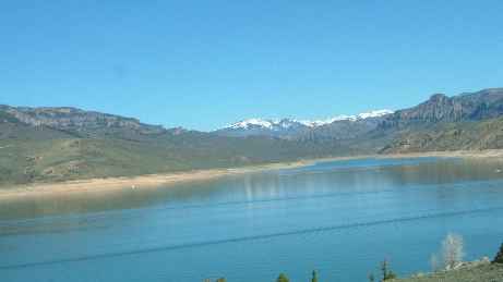
| But I do know that the colour of the lake is more vivid than any
lake I've seen before.
|  |
 | We
pulled off just after the lake to visit the Black Canyon of the Gunnison
(see next page). These photos show the dramatic changes in the character
of the countryside as the altitude varies between river valley and
mountain, and how much water there is. |
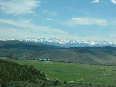
| You can still see mountains although not quite as high, but the
sheer scale of the scenery defeats you. These mountains the other side of
the valley floor stretched north and south as far as the eye could see -
and that was some way! | 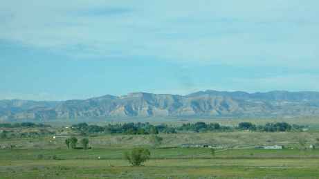 |
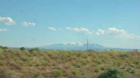 | The
roads became long and straight, and had differing speed limits and driving
advice for use during dust storms.
We had left Wichita on US 50 and we were still on US 50 just 1,000
miles further on (and that's only part of it). There was very little
traffic and it lived up to its name "The Loneliest Road". I
would still argue it is one of the most beautiful roads I have driven -
anywhere. |
| Eventually we crossed the border into Utah with the scenery
becoming ever bleaker and the signs of habitation now few and far between.
At a junction some 50 miles in we turned south instead of west and headed
for Moab. | 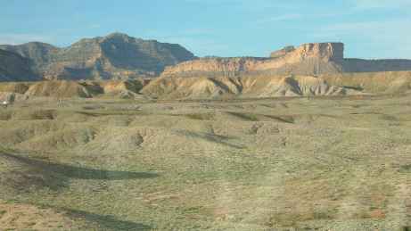 |
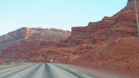 | Another
50 miles and the sandstone is now an iron red on the approach into Moab,
the best base for exploring the Arches National Park and the utterly
barren Canyonlands National Park |
|