| Out of the city centre, by the roadside on the way
out, you still have modern art sculptures. Just to tell you this is a city
of Art! | 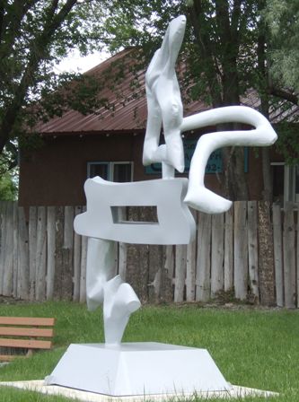 |
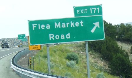 |
As you leave a town or city, the first few junctions always have the names
of the streets. Some of them can be quite fun. The exit numbers are the mile
markers, in this case from the southern state border. |
| The first part of the road to Taos is dual carriageway with
several lanes each way. The dotted line tells you are about to lose that
lane at an exit. We are into more hills here even though we are around 7,000ft
up. | 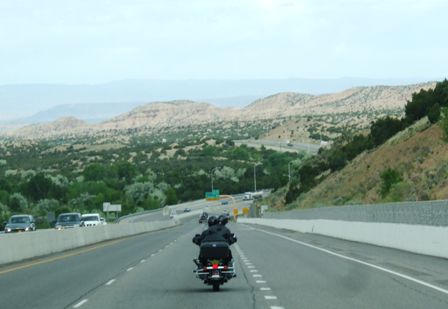 |
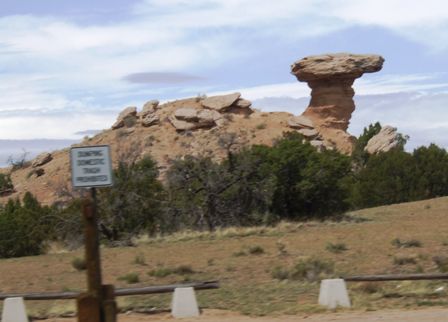 |
We are also into Native American reservation land with about five reservations for
different tribes in a relatively short distance (Santa Fe to Taos is only 80
miles) This is Camel Rock and on the other side of the road is Camel Rock
Casino. Each of the tribes has a casino and I guess they all make money
since they all look prosperous. |
| After about 50 miles, the road to Taos leaves the
interstate and the road narrows as it travels through the Rio Grande canyon. | 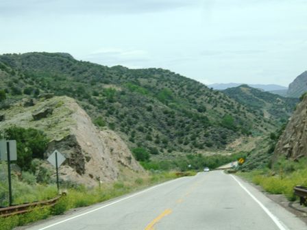 |
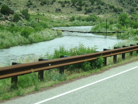 |
Yes, the river we are following is the Rio Grande but at this point it is
much smaller and shrinking fast. The bridge (theoretically) gives pedestrian
access to a house on the other side but there are signs warning that it might be dangerous! |
| Part way along the canyon is a visitor centre so we
called in for a look. | 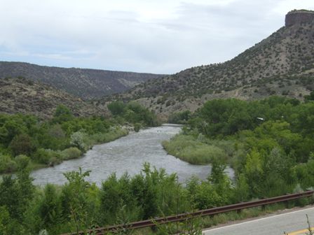 |
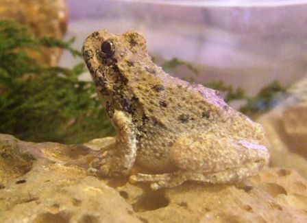 |
There are the usual facts and figures about the canyon, books and posters
and pictures on local wildlife and a few samples for the kids to look at.
Frogs just sit so still. Perhaps it's a toad and it's offended at being
thought a frog. |
| Meanwhile the river was getting interesting. It is
apparently quite good for white water rafting and several rafts hove into
view. | 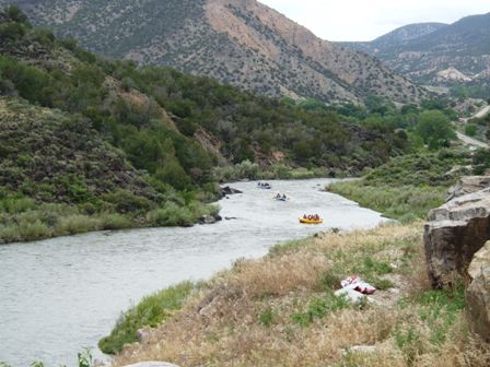 |
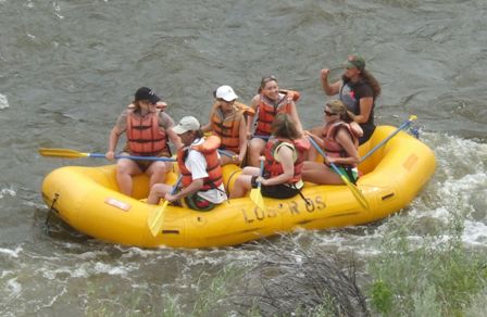 |
We didn't see anywhere that looked too rough and these girls seemed to be
enjoying it. |
| It isn't on the scale of the Grand Canyon but it is
still of some note and we followed the rift as it got deeper, or rather we
got higher! There is a suspension bridge about 30 miles the other side of Taos which is
said to be quite spectacular. | 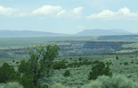 |
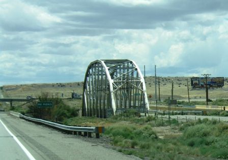 |
This page also covers the trip back from Taos the following day since we had
to go back the way we came all the way to Albuquerque where we then picked
up the interstate and headed west to Grants. The I40 interstate runs
alongside sections of the old Route 66 and this bridge over the river Puerco
was apparently quite a landmark on that road. |
| The BNSF mainline (double tracked) also
follows most of this route and we saw quite a number of trains, mostly
carrying containers (double stacked) and truck trailers. Although it is flat
this has about 12,000hp on the front and around 100 wagons. | 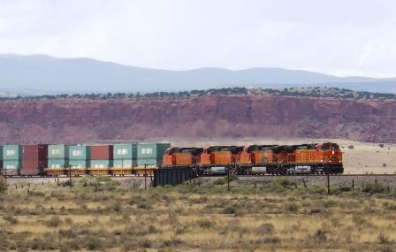 |
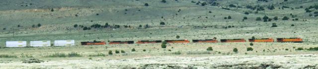 |
But this one which is just visible goes 4 better. There are 8 locomotives,
well over 20,000hp, if they are all working. |
| The weather was beginning to cloud over and we even
had a few spots of rain. We are approaching the monsoon season when all the
year's rain comes at once. |  |
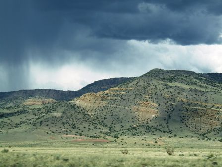 |
Over the higher hills it did look very murky and we did see some lightning.
But mostly we seemed to be threading our way between two storms. |
|