| Poncha Springs is just
below Monarch Pass (11,312ft) deep in the Rocky Mountains. We camped at the
side of the South Arkansas River which in another 1400 miles or so will
reach the Gulf of Mexico. A bit further downstream are a number of white
water rafting companies. It is a very popular pastime in this area. Further
west is a major ski area. | 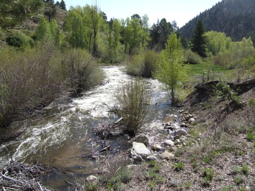 |
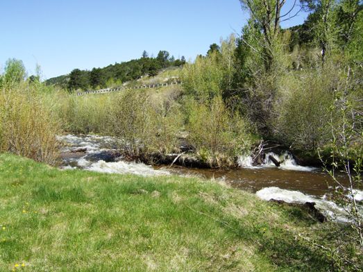 |
Here the river is just rushing east carrying snow melt waters. Even up here
some of the rivers are running quite high and flood warnings are in place
further east. |
| However, we are
travelling south. It is interesting that we are at about 7000ft and will
continue to be over that height for some days. Here we were held up for a
while as cowboys on a mixture of horses, SUVs and ATVs moved a bunch of cows
along US 50. | 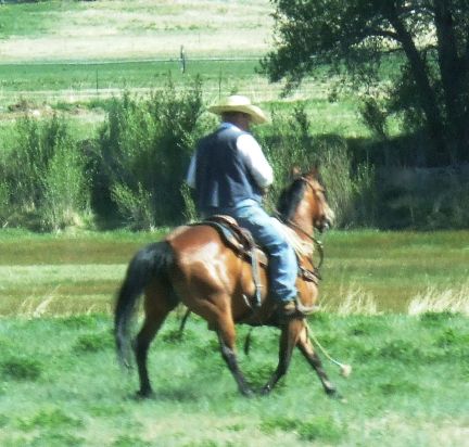 |
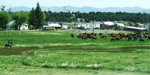 |
Eventually they moved off into the fields and the traffic flow recovered. |
| We crossed several passes
and reached another high plateau. There are very few trees. But there has
been a concentrated effort to plant some conifers as snow breaks to protect
the road. However it does look as though this is a long term project because
they won't grow fast up here. | 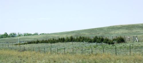 |
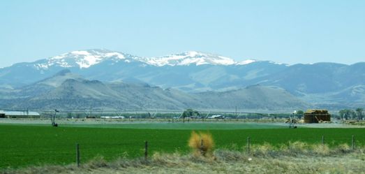 |
These mountains don't look that high but the snow-line starts at about
12-13,000ft. The flat base valley land is over 8,000ft. Not all the land is
cultivated but here there are circular fields of hay being irrigated. |
| We travelled down US285
for about 30 miles in a dead straight line due south, eventually reaching
Del Norte, then west 16 miles to South Fork. There was a branch railway here
which is now being used as a siding to store wagons designed to carry
trailers. The whole 16 miles! There must have been over 2500 of them,
quietly rusting away. | 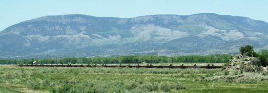 |
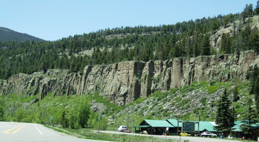 |
Mostly we had been driving on the flat high plain but now as we headed west
again we were back into mountains again, this time the San Juans, as we
climbed up towards Wolf Creek pass at 10,815ft. |
| The river is the Rio
Grande, much smaller here than it will eventually be. We have still not
quite crossed the Continental Divide although we will do this at Wolf Creek
where we will join the San Juan River which will eventually flow to the
Pacific. | 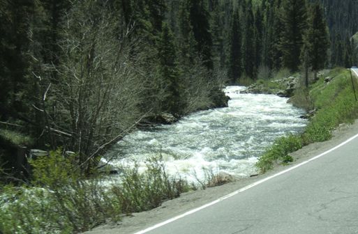 |
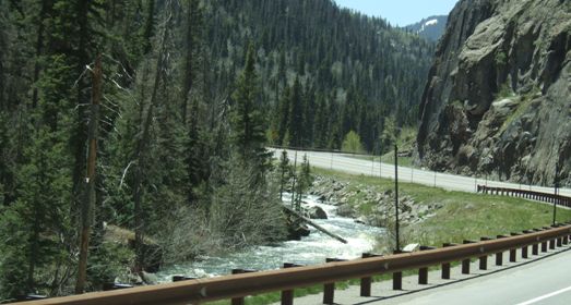 |
The road climbs steadily following the river although the increase in height
we need to make is not very much this time. |
| We have found relatively
few tunnels and even fewer snow sheds. But we will pass through both on this
road. | 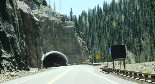 |
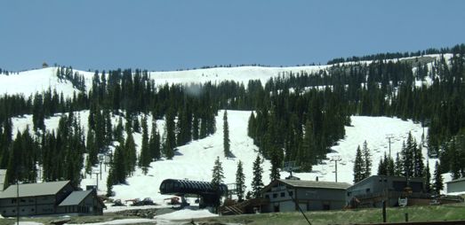 |
The snowline is lower here and Wolf Creek itself is another ski resort.
Though closed now for the summer, there is still significant snow at
10,000ft. |
| As we start down the 10
mile, 1 in 7 grade we paused at an overlook to let the brakes cool and to
admire the view down the San Juan valley. You can just see the road snaking
off into the distance. | 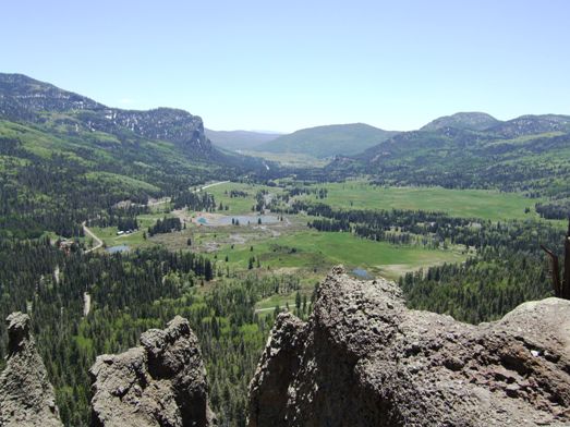 |
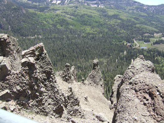 |
The rocks looked almost volcanic and we sat and watched the hawks and ravens
as they drifted on the wind (which was b... cold). Then it was down the
last few miles to Pagosa Springs. |
|