| We left Wheat Ridge,
a suburb of Denver, and headed south past Red Rock Park at Morrison. It has
the largest natural amphitheatre in the US and is often used for rock
concerts. I suppose that's because it is 15 miles from Denver. We didn't
stop but the view over Denver is supposed to be magnificent, stretching over
200 miles on a clear day. | 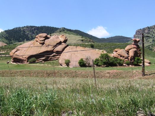 |
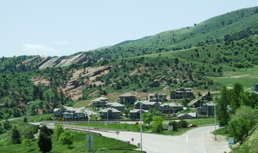 |
Today, those who can really afford to live in the suburbs live in
developments like these stretching out along the roads to the mountains. We
went right here and never passed another town all day! |
| We did get some
spectacular views though. From Denver you climb quite steeply through
Kenosha pass (10,001ft) to the mountain plateau which is at about 8,000ft
and is absolutely flat from here almost to Mexico. | 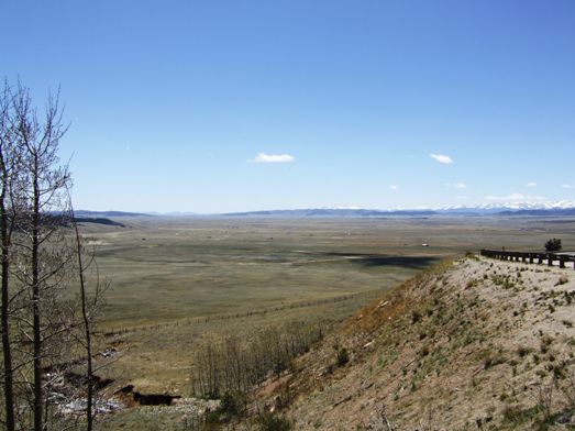 |
 |
The view south with the mountains rising to over 14,000 ft down the western
side is absolutely amazing. We did not expect it to be so flat. |
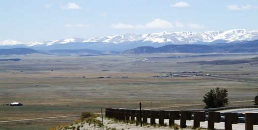
| There is really nothing
there apart from some scattered farm buildings which we suspect may be used
only part of the year. It is called the high plains desert because really
very little grows other than thin grass. Beef cattle are moved up here in
the summer months for the grazing. | 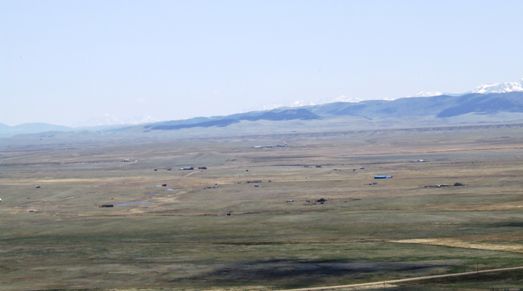 |
 |
Occasionally the mountains seem clearer as when we came down towards a town?
called Fairplay. |
| It is just amazing that
the area is so desolate. There are hundreds of Rocky mountain peaks in
Colorado at over 14,000ft. This road goes down the eastern edge of them and
we were never out of sight of mountains for the next two days. | 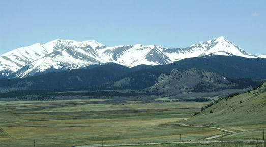 |
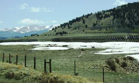 |
The only indication that you are still so high up is the unmelted snow still
at the side of the snow fences. |
| The road is just endless
with very little traffic on it and yet it is not totally deserted. You just
have to remember there is no major town between Denver and Phoenix, 1500
miles away. | 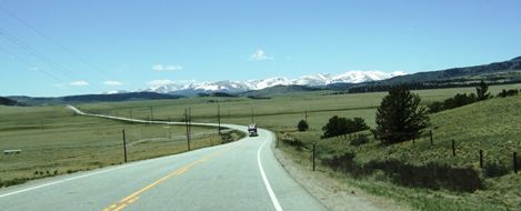 |
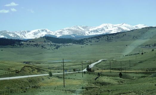 |
The road angles from left to right across the foreground and then from right
to left in the background, climbing steadily to cross another pass. |
| There are very few trees
and those that there are there are quite stunted. We aren't actually above
the tree line but we are getting close. | 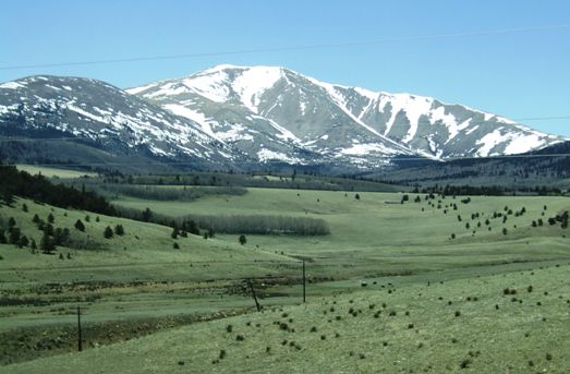 |
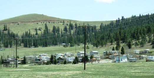 |
We could not decide if this is a seasonal campsite or a town made up of
trailers. There is some evidence that people live here year round but there
are no substantial houses. One wonders what the work would be in the area. |
| Then up and over another
pass. You can only really tell because the rock formations change and you go
through a valley and climb a thousand feet or so. And then end up with a
view of another flat bottomed valley. | 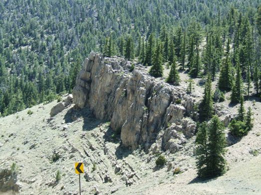 |
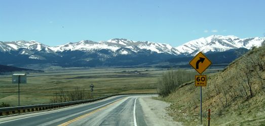
 |
This is quite a fast road on the valley floors but can be quite slow over
the ridges. This sign means what it says - it's a long way down from the
pass. This is 30mph or less country! |
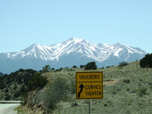
| Some of the
climbs/descents can be quite steep. These are quite amazing roads and in
better condition than in many of the eastern states despite the dreadful
conditions they must endure in the winter. | 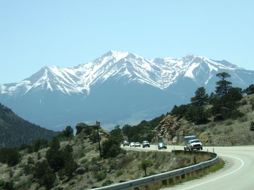 |
 |
This is the spectacular view of the Collegiate range viewed from Trout Creek
pass (9,346 ft) as we drop down to the junction at Buena Vista (aptly named). |
| We turned more south here
after a period when our travel had been more westerly. | 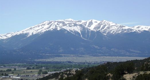 |
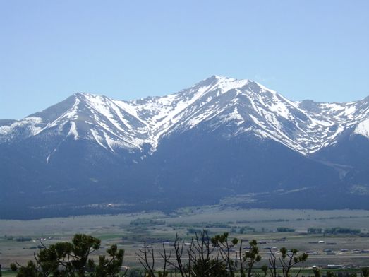
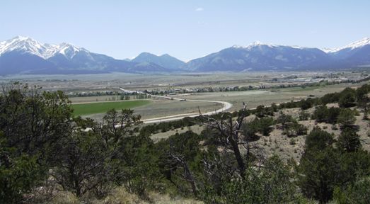 |
But we still have this flat bottomed valley going north-south and the
mountains are now on either side. This is heading down to Poncha Springs
where we will meet US 50 (which we travelled in 2005) and cross it tomorrow. |
| This is an old tree,
stnted because of the altitude and dry air. Jan spotted it on the bluff
overlooking Buena Vista as I took photos of the mountains. | 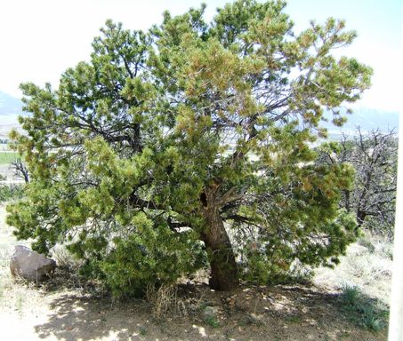 |
|