| So finally it was time to leave Shepherdstown and retrace a route
we had taken before down to Charlottesville some 130 miles to the
south-east. There is a short normal part down to Front Royal (some towns
have odd names) where we joined a route called Skyline Drive. |
 |
 | This is actually
a National Park (so out with our newly acquired annual pass) and forms
part of a longer route called the Blue Ridge Parkway. This follows the
ridgeline of the Appalachian and Blue Ridge mountains along the southern
edge of the Shenandoah valley. |
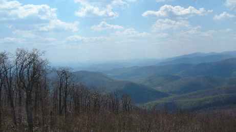
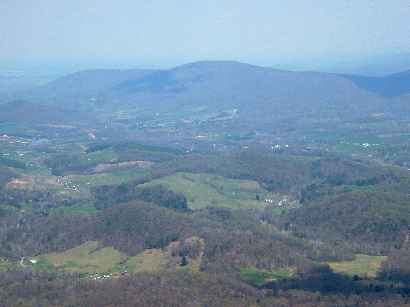
| Much of the road is at 3-4000 feet and offers spectacular views
on both sides of the road. It is a good road but has a 35mph speed limit
so is not designed for fast travel. It also has numerous parking places at
'overlooks'. The photos speak for themselves but barely do justice to the
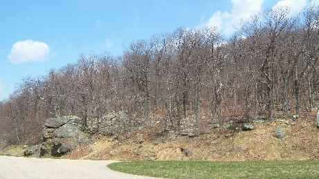
grandeur of the scenery. The trees were just coming into leaf. The bud
burst rises at 100 ft per day so we passed from trees that were green to
those which were not yet out as we climbed steadily higher. |
 |
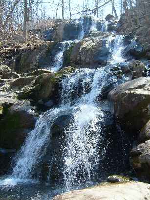 | We paused at
many parking places and took dozens of photos but the 'wow' factor wanes
after a while. We decided on a break from driving and walked down to this
waterfall. We managed the round trip in half the recommended time. Perhaps
the Americans aren't as fit (not that we think we are fit) |
| We did think that being so high up we would have no trouble with
cellphone service but 'fat chance' There was no coverage to enable us to
make contact with the next group of friends, (also dancers from our 1998
tour), which we were to visit, until we got to the cellphone aerials a
mere 10 miles from Charlottesville. We arrived just as predicted and made
royally welcome. | 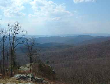 |
|