| Virginia is a huge state and we travelled all day and
yet were still (just) within the state. It isn't as large as it originally
was when it was defined as all the land between two latitudes and from the coast
to the Ohio. At that time the western half was essentially unexplored
largely because of the Appalachian mountain barrier. The first European to
discover Cumberland Gap was Dr Thomas Walker in 1750; it was more famously
blazed
as a pioneer route across the Appalachians by Daniel Boone in 1769. | 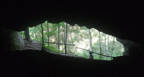 |
 |
The photo above is from inside Skylight Cave, one of several caves in the area. This
one was not particularly large and had no real established history. We
walked from the campsite up to the Pinnacle Overlook viewpoint on the ridge from where you can
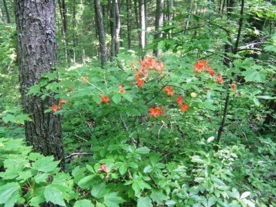
see into Virginia, Kentucky and Tennessee. As with the Blue Ridge walk,
there were lots of flowers in bloom on the forest floor. |
| And with the flowers came the butterflies. There
seemed to be dozens and they were all significantly larger than we are used
to. They didn't stay still any longer though. | 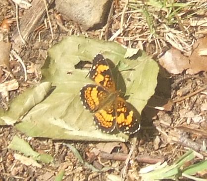 |
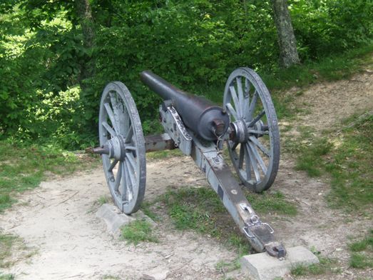 |
The ridge at the top was held by both sides during the Civil War. However no
battles took place here, it was just the weather which defeated the troops
and forced them down from the heights. This cannon was a relic of the time
when the trees would have been chopped down for firewood and to give a clear
field of fire. |
| Below the pinnacle is the small town of Cumberland Gap
with the interstate junction just in the top of the picture. There is little
there although we did stop for a sandwich. Many English will remember this
name
from Lonnie Donegan's skiffle song, most Americans as the start of the only
pass through the Appalachians through which early settlers had to pass. Daniel Boone
followed a trail originally made by migrating buffalo and later used by
Indians as a
trade route. A wagon road was then built, and today a
four-lane road tunnel passes through the mountain to preserve the historic
beauty. | 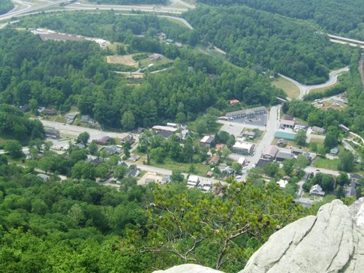 |
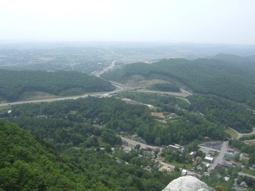 |
This is a wider angle shot from the same point showing the interchange with
beyond, in Tennessee, the city of Harrogate. I grew up in Harrogate,
Yorkshire! |
| A closer view of Harrogate, population 1600 with
interstate 25E snaking off into distant Tennessee. | 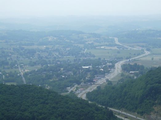 |
 |
Looking the other way, into Kentucky, we have the city of Middlesboro,
population 6000. Between the two cities is the tunnel under the gap. |
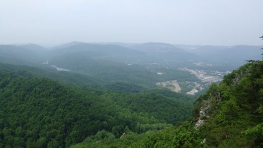
| It was quite a hike up to the pinnacle (about 5 miles
and 2000ft) but the view was rewarding when we finally got to the top. There
is a road for cars which was built in the 1920s but it is not suitable for
long vehicles such as our RV. | 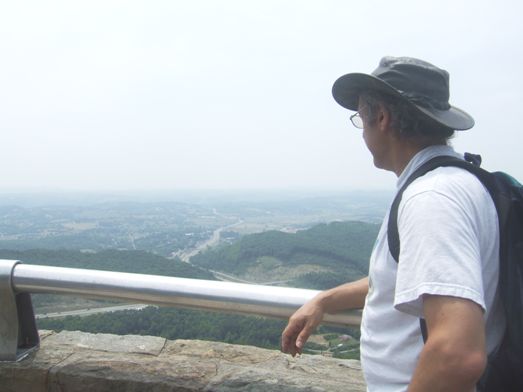 |
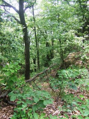 |
And so back along the ridge path for a couple of miles before beginning the
descent to the camp site. You realise how steep it is when you look out over
the trees which start growing 100ft below you but only a few yards away
horizontally. |
| You need to keep your eyes open as the forest floor
teems with life like this spider with great long legs feeling out the leaf
in front for any vibrations. | 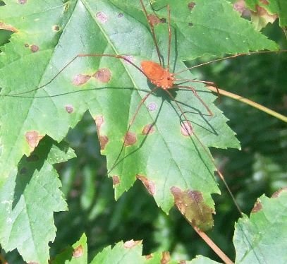 |
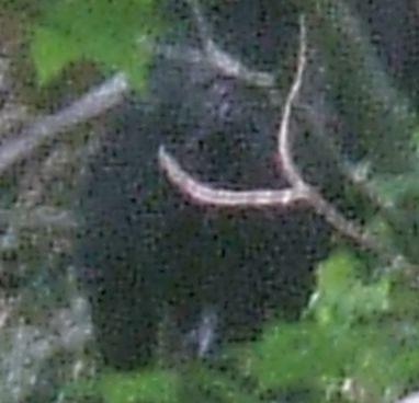 |
As we climbed down the path we suddenly saw a bear on the far side of the
ravine. It had been down to drink at the almost dry streambed and was now
working its way back up the hillside. It was quite large and I'm glad we
weren't a few minutes earlier when we might have met it on our path. We
duly reported it to the park rangers who are trying to persuade the bears to
stay in the more remote parts of the national forest. Sightings such as ours are not common and we
felt rather privileged if a little nervous. |
| Fortunately the steepest part of the path had had
steps cut into it although sometimes it is harder on the knees going down
than on the stamina going up. It is funny how we didn't notice that tree going
up... | 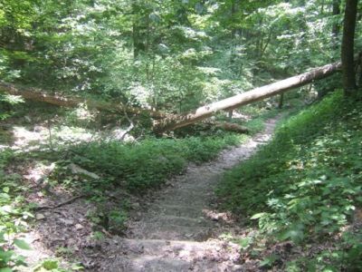 |
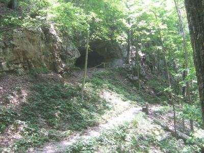 |
We started this photo set at the cave and we end it there although there is
still another mile and a half to go. Tomorrow we will get the bikes out. |
|