| We had been warned that if we left it too late in the year it
would be too cold to visit Bryce Canyon, and the park would therefore be
closed, as it is so high. In fact part of it remains open all year, catering to
people equipped for lots of snow, but the main road to the best view points
is not cleared. And we were lucky, it was bright and
sunny, though it wasn't quite tee shirt and shorts weather, and it was close
to freezing overnight. | 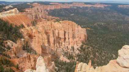 |
 | Zion had been all about looking up, but Bryce was all about
looking down. We had camped at Ruby's Inn, just outside the park proper, so this
was the day we entered the park and drove the 17 miles to the end of the
road. That brought us to
Rainbow Point and Yovimpa Point. The former is a bluff facing north whilst
the latter faces southeast. |
| They both offer expansive views of southern Utah which is awash
with the colours of long eroded slopes and columns known as hoodoos. | 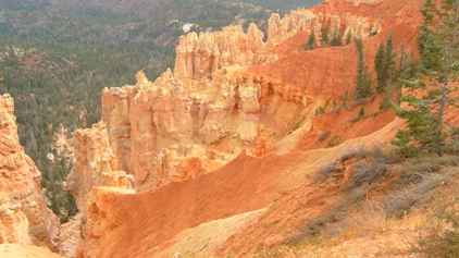 |
 | Not easily seen in
the photos and barely visible because of air pollution in reality, it is
possible to see Navajo Mountain, which is over 10,000ft high, and the Kaibab plateau over 90 miles away in
Arizona. |
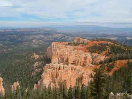
| We took dozens of photos but it is really difficult to really
portray the depth of the canyons and the height of the cliffs. There are
many viewpoints along the road, all looking down on vast arrays of the
hoodoo columns. | 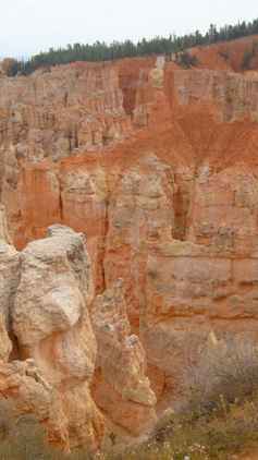 |
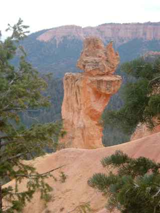
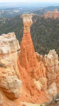 | Many of the columns
have names such as 'the Poodle'. Without detailed maps you could not be sure
which was which. Certainly it was easy to look at the scenery and come up
with your own ideas of what they looked like. They are formed as the
different layers of rock erode at different rates, sometimes leaving harder
white capping stones balanced precariously on slender red spires. But there
are thousands! |
| This was Natural Bridge although it was not formed by a stream as
many such structures are. It was carved by rain and frost erosion from the
top working down. | 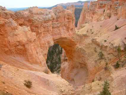 |
 | You wonder how some
of the structures remain, and of course they are constantly changing,
although not that quickly.... |
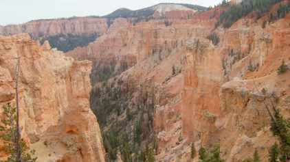
| It is the scale which is so difficult to portray, as seen here
looking back at miles of vermilion coloured cliffs. | 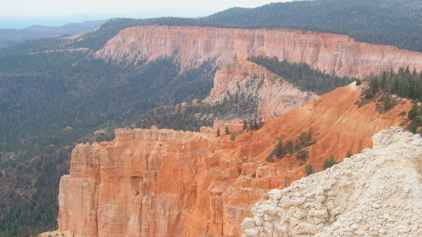 |
 | And looking the other
way from the same vantage point, you can see for miles, here looking north.
The plain below is some 2000ft below us. |
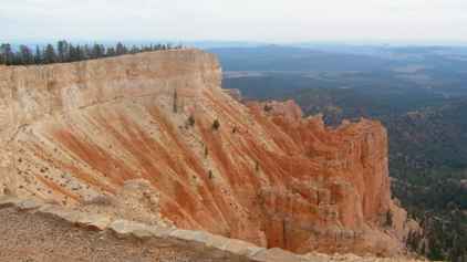
| The cliffs do vary in colour from a white to a deep red and each
cove along the road has a new vista and a new colour mix. | 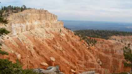 |
 | This looks away
towards Navajo Mountain again. We could just see it but the cut down photo doesn't
quite reveal it. |
| More shots showing that some rock colours are more prone to
erosion than others. | 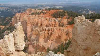 |
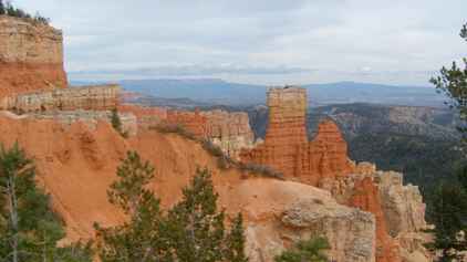
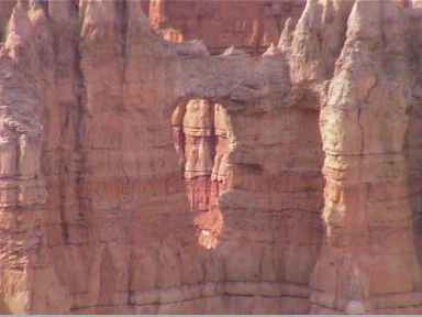 | Mostly the erosion
creates vertical pillars but occasionally you get a window, which helps in
showing the erosion process. |
| Looking across the valley towards the Vermilion Cliffs on the far
side. | 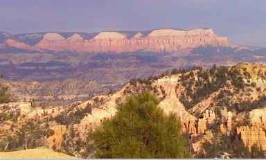 |
|