| Furnace Creek is the primary settlement in the valley and is a
true oasis. The nearby Texas and Travertine springs produce over a million
gallons of water every day which is now barely enough to support the
visitors in the summer. There is some doubt as to how long the springs can
continue at this level as demands on the water in the underlying aquifer
continue to rise. | 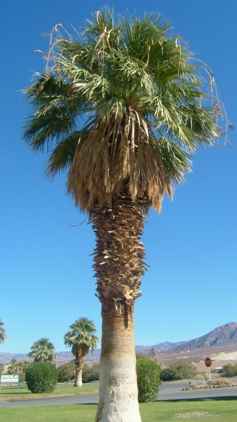 |
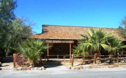 | Just up the road are
the remains of the Harmony Borax Works but most of the artefacts are now
housed in this building which is the oldest one in the valley. |
| Out back are a collection of wagons and stagecoaches from the
late 1800s. | 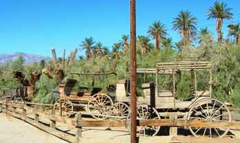 |
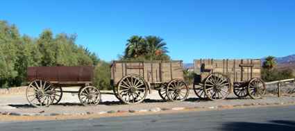 | Out front are the
wagons which were used to haul the borax out of the valley in 1885. The
train hauled 24 tons of borax 165 miles to Mojave in 10 days. The whole
train weighed 36.5 tons and was hauled by a team of 18 mules and two draft
horses. |
| The mule train was
replaced by Old Dinah in 1894. | 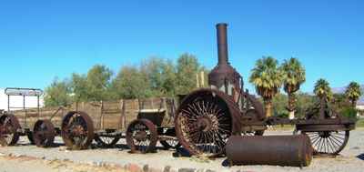 |
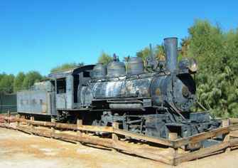 | In its turn Old Dinah
was replaced by the Borate & Daggett Railroad. The borax workings survived
to about 1927. |
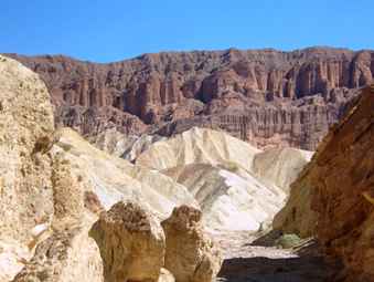
| Just to the south of Furnace Creek is Golden Canyon. Most of the rock
formations are made of mudstone. When it does rain here (rarely) they get
flash floods which cut ravines and the deposits create structures known as
alluvial fans. | 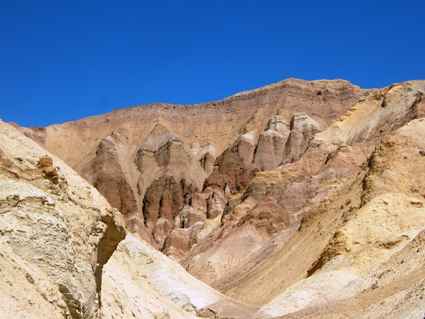 |
 | The washes at the
bottom can be clearly seen here. The flash floods can be quite dangerous if
you are caught in a narrow canyon such as this.. |
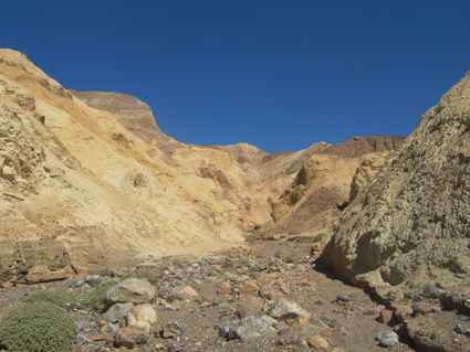
| Some of the cliffs can be quite spectacular especially when
caught with the right sun angle. There is a path goes up by this to
Zabriskie Point from which there are spectacular views. But we hadn't time
(or the water) to make the climb. | 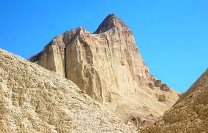 |
 | We did have time to
walk up to the Cathedral Rocks, an impressive set of red cliffs set amongst
the other much whiter formations. |
| Just to the south of the Golden Canyon is a short loop road to
'Artists' Palette'. The road is restricted to vehicles less than 22ft long so
we had to pass it by but the cliffs still looked impressive from a distance. | 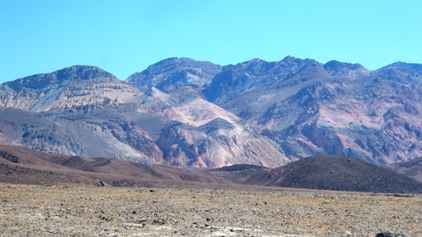 |
 | The colourful cliffs
continued on past the point where the loop road was. The colours seem to be a
feature of this type of mudstone. |
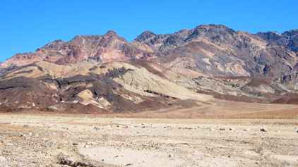
| Seventeen miles south of Furnace Creek is the Badwater Basin. You
know as you approach it because you start to see the salt flats which are
what leads to the mirages which look like water. | 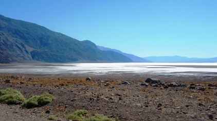 |
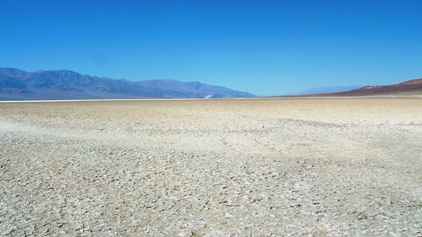 | The Badwater Basin is
the lowest point in the USA and at 282ft, one of the lowest points in the
world. It really is quite bizzare. |
| There is water here but it is not drinkable. It is home to
some strange pupfish which can cope with the alkalinity, the heat and the
periodic droughts. They hibernate! The pool is also home for a number of
unique plants which can also cope with these challenging conditions. | 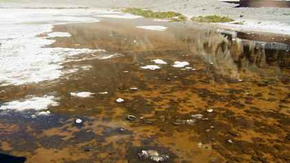 |
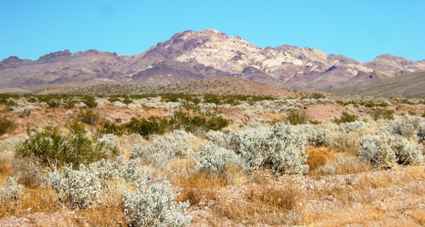 | We carried on south
for another 50 miles before we finally left the park. We only saw two
vehicles on the whole trip. We did eventually escape the salt flats and the
scenery returned to desert scrub. |
| Finally we started
climbing up out of the valley still passing colourful mudstone rocks. | 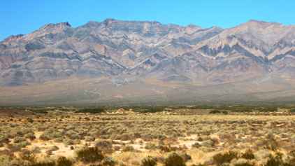 |
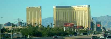 | Eventually we reached
the main road heading south, first to the retirement
town of Pahrump, Nevada, and then to the fastest growing city in the USA,
Las Vegas. |
|