| We headed south down the 395 from Bishop through Big Pine to Lone
Pine where we turned off and headed towards Death Valley. The scenery became
more desert but still with mountains in the background. | 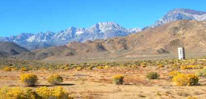 |
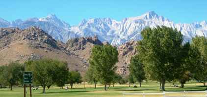 | This was just opposite
the visitor centre in Lone Pine where we turned off. There's more than one
and they are not even pines! |
| What we hadn't really realised was that we still had 40 miles to go
before we reached the park boundary. This was the dry
Owens Lake on the way, and was a foretaste of what was to come. | 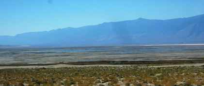 |
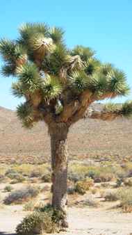 | .This is a
Joshua tree of which we will see more as we travel the deserts of the south
west. It is quite common in deserts over 3000ft such as the Mojave. |
| The National Park proper starts some 40 miles down the road as we
climb up to 6,000ft to get up to Father Crowley Point. | 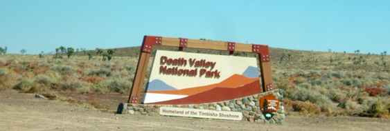 |
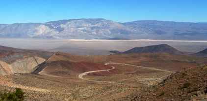 | Looking down from the
point to the valley floor almost a mile below is quite something. That's
before you start the 16 mile road down at a steady 6% grade. But this is
Panamint Valley with Panamint Springs at the foot of the grade. |
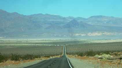
| The valley floor is at 1,000ft and this is the road back up to get
over the Panamint Range (Towne Pass 4,956ft again) before we get to the real
Death Valley. The highest peak in this range is Telescope Peak 11,049ft. | 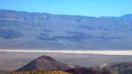 |
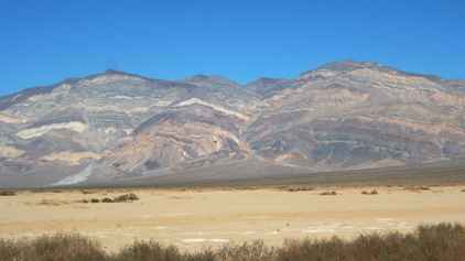 | The rock patterns and coloration are quite something. Presumably
the result of the minerals present. |
| There are outcrops of
different rock in many places. The colours are different but equally
striking. | 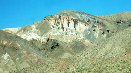 |
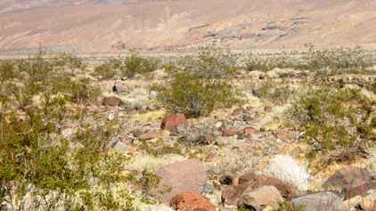 | The desert floor is rocky and barren apart from a few types of
scrub bushes which are specially adapted to the harsh almost waterless
environment. |
| This is almost the
only source of water. The tanks contain water to enable cars with
overheating
radiators to be filled up. | 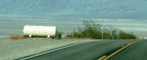 |
 | Finally you head down a long slope towards Stovepipe Wells,
elevation 5ft. You have reached Death Valley. There is a gravel road here
off to Mosaic Canyon but we are quite wary of such roads so had to miss out. |
| Just to the north west
of Stovepipe Wells is the Mesquite Flat Dunes which are up to 150ft high.
They are made up of tiny grains of quartz and feldspar from the Cottonwood
Mountains which lie to the north. | 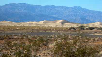 |
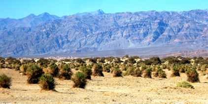 | A bit further south lies an area known as the Devil's Cornfield
but the corn consists of a particular variety of scrub bush. |
| As we approach Furnace
Creek there are outcrops of borax. The 49ers thought there was gold here but
most of the real value came out as borax, primarily used in the soap industry. | 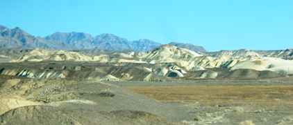 |
|