| Mammoth Lakes was not one of the places we had planned to stop
but it looked interesting so we had a look. It is basically a ski resort but
has other places of interest close by. This mammoth sculpture highlights the
ski centre. | 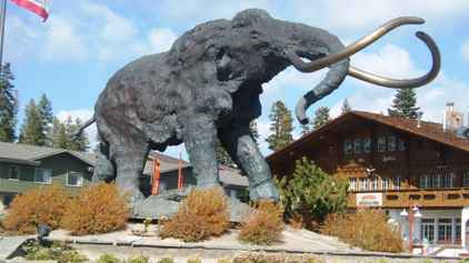 |
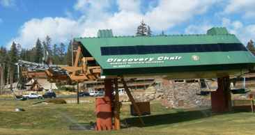 | The ski lifts
were not in action because they had no snow but there were many of them
lifting away to the mountaintops.. |
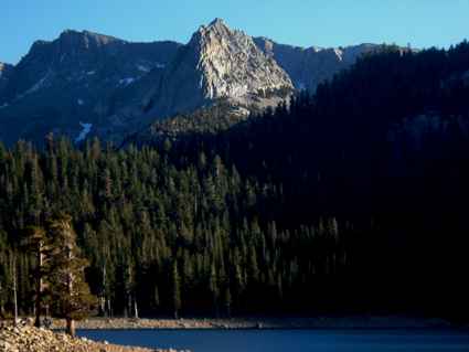
| There were two dead end roads heading west. Along one we found
the minaret vista (at 9265 ft) looking out over the valley to further ranges
of mountains which are a continuation of the Sierra Nevada, the Cathedral
and the Ritter Ranges. | 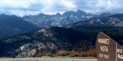 |
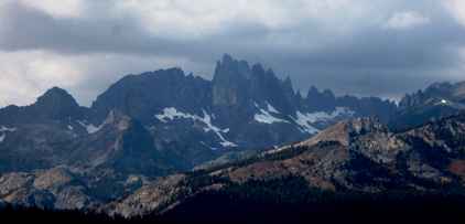 | These are quite
spiky mountains especially seen in close up, and high enough to have snow all
the year round. |
| A little further down the road we entered the Devil's Postpile
National Monument. One of the few such places which didn't accept our parks
pass. It was down in the valley down one of the hairiest bits of single
track road we have travelled! These are volcanic basalt rocks which have
crystallized as they cooled over 100,000 years ago. This formation is very
similar to the Giant's Causeway but covers a smaller area, at least as far
as we could see. | 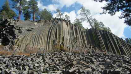 |
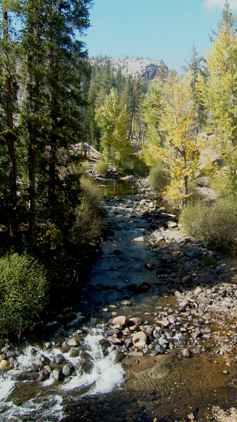 | This is only an
800 acre park but there are walks out along the San Joaquin River valley to
the 101ft Rainbow Falls. To the west lies the Ansel Adams Wilderness
and then Kings Canyon and the Sequoia National Park on the other side of the
mountain. But it's a long way round because there is no road crossing. This
is the continental divide and the footpaths which follow this (the John Muir
Trail and the Pacific Crest Trail) will allow you to walk across to Yosemite
and even all the way up to Yellowstone. |
| A fire swept through the area in 1992 so there is quite a
bit of fire damage, but rejuvenation is starting. | 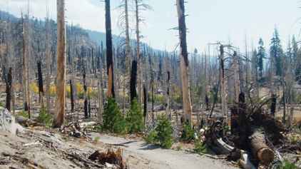 |
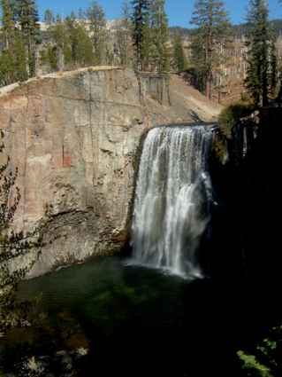 | So to the falls.
When the sun is at the right angle then rainbows form which give the falls
their name. |
| The sunlight glints as the water falls away to the lower falls
another half mile downstream. | 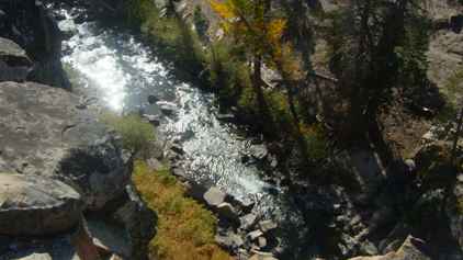 |
 | We climbed our
way back up out of the valley via the single track road and took the other
road up to the lakes. |
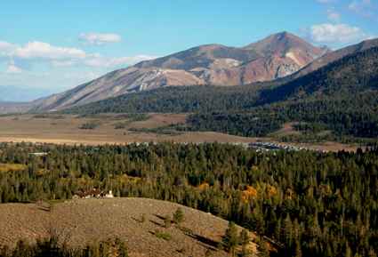
| The lakes are all over 6,000ft and you can look back over the
valley and the mountains which will continue to be beside us most of the way
down California. | 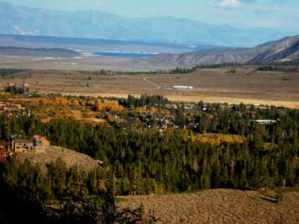 |
 | But in the
fading light we turned to look at St Mary's Lake and the other lakes at the
head of the valley. |
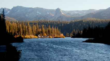
| This was Horseshoe lake, the furthest we could reach by road, so
called because of its shape which you can just make out. | 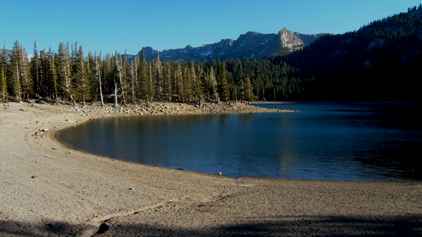 |
 | There are more
granite outcrops here which shine brightly in the evening sun. |
| Coming back down we paused to view the Twin Lakes from a bridge
at the top of a waterfall as the water from the upper lakes falls down to
supply the lower lakes. | 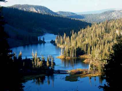 |
 | Then we headed
on south making the most of the day as the sun was close to setting. |
| We travelled further and later than we planned because the site
we had planned to stop in was now closed for the winter. This is something
we are going to have to watch from here on. | 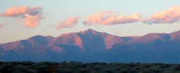 |
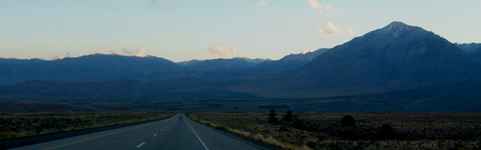 | And towns are
not so close together so it was almost night by the time we found a campsite
at Bishop. |
|