| We've seen some pretty big trucks in the US, some with three
trailers and some with houses on the back. But this was in a different
league. There was another truck pushing from behind and police escorts
everywhere. We aren't sure if this was the final destination but they were
trying to put it in this gas station. In the meantime we were diverted
through MacDonalds - our only visit to this establishment so far. |  |
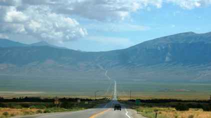 | We might have thought
we covered enough basins yesterday, but it was not to be, there were still
more to cover, each with its road down, across and up the other side. I had
always thought that the Rockies were down the west side of the US, then
there was California and the sea. Well it is not unrealistic at the Canadian
border (substituting Washington for California) but the range runs
diagonally across the US and they are much farther from the coast in the
south. |
| This may look the same as the last shot, but it is different with
yet another valley. Not that you would really notice.... | 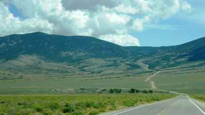 |
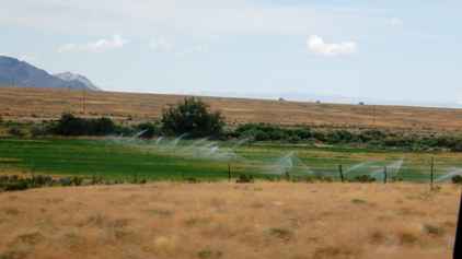 | This was a surprise
because we found very little sign of irrigation and without it, nothing
grows. We now can't remember where this was, but it was not far east of Ely
and still in Nevada. |
| You do, of course, still have a few miles of long straight empty
road to travel. | 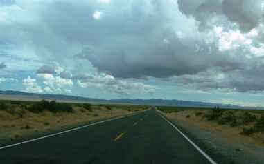 |
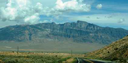 | With the passage of
even a few hours you begin to forget which set of mountains is which. I
think this is the Snake Mountains. What you can't get away from is that they
are all majestic. |
| The roads and the mountain ranges become endless. At some point
we crossed into Utah but that only led us to the Confusion Range. | 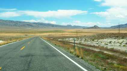 |
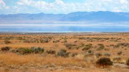 | And yet more desert
with a huge dry lake (according to the map). I swear there was water in it.
I guess that is possible at certain times of the year. One important point
is that the large region we have been passing through is called the Great
Basin, and all the water in the basins we have been passing through drains
not to any of the oceans but ends up in one of the salt lakes either to the
east or the west of the desert. |
| About the only minor difference in the landscape is that you
start to see a different coloration in the mountains (or is it our
imagination....). | 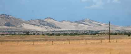 |
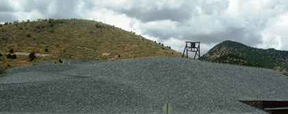 | At one time there was
an amount of tin and silver mining in these areas. These resulted in large
spoil heaps which are now being reprocessed using more modern techniques to
recover the remaining metals. |
| And eventually you reach the Wasatch mountains which tower over
the Great Salt Lake Valley and you reach Provo and the start of Mormon Land.
We were stopping at Cedar Hills which is just north of Provo, prior to
heading ever eastwards across those mountains. | 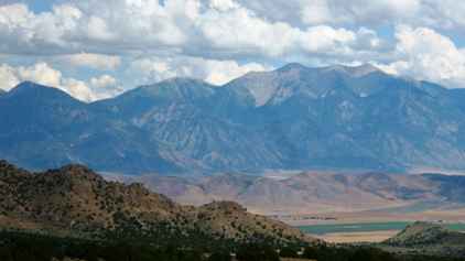 |
 | Most houses in the US
are made of wood. Even those which look as though they are made of brick
only have a brick looking facing board. We've called them Tyvek houses after
the trade name of the facing board most commonly used. This is almost a
before and after shot as these are not the same building. These were in Utah
and sell for around a quarter of a million dollars. They did have good views
over Utah Lake near Provo. | 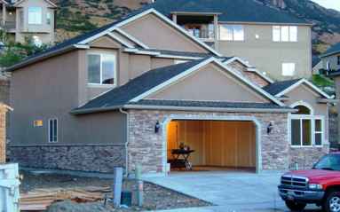 |
| This is the LDS Temple at American Fork (I think). This shot was
taken from over a mile away. We were in Cedar Hills at the time. We had been
visiting friends and this was the view as we left. | 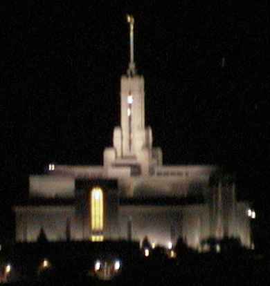 |
|